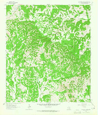
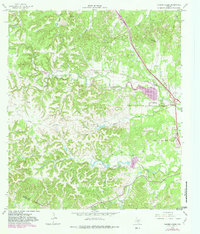
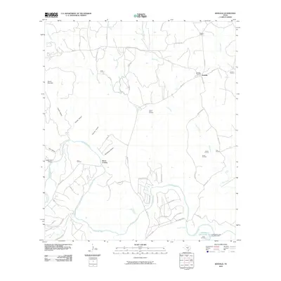
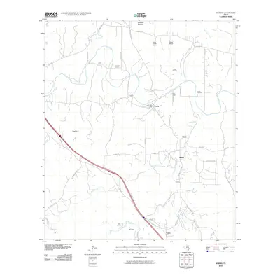
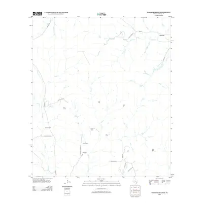
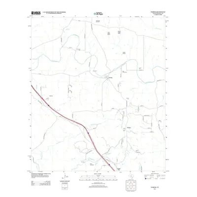
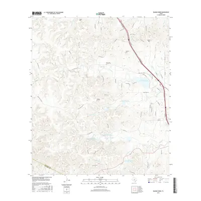
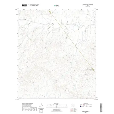
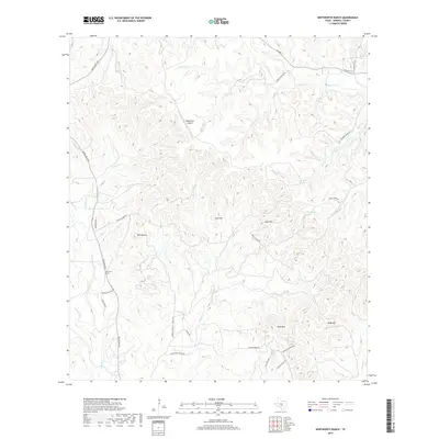
1963 Map of Whitworth Ranch
USGS Topo · Published 1965About this map
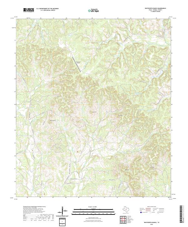
Whitworth Ranch and several other family holdings define this portion of the Texas Hill Country in the early 1960s. The landscape is dominated by a complex network of drainage basins, where the Blanco River and its South Fork meet numerous winding creeks such as East Sister Creek and Wenzel Creek. These waterways have carved deep valleys between prominent rises like Wolf Mountain, Lone Hill, and Meta Mountain.
Find a feature on this map
33 named features on this map. Tap any name to fly to it.
Don’t see what you’re looking for? This feature index may not catch every label — zoom into the map to look around manually.
Map Details
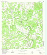
Editions of this 1963 Whitworth Ranch Map
This is the sole edition of this map. No revisions or reprints were ever made.
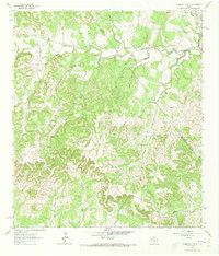
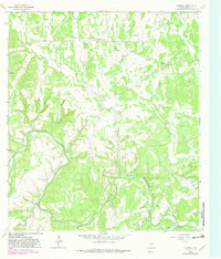
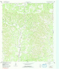
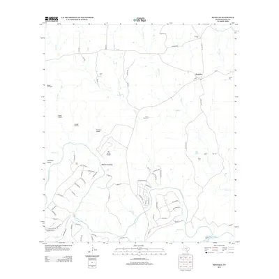
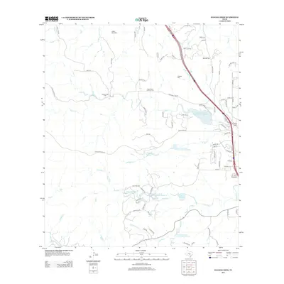
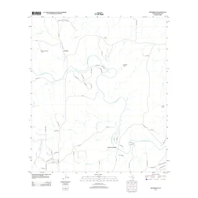
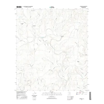
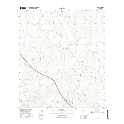
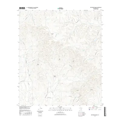
Historical Maps of Lindendale Through Time
42 maps found
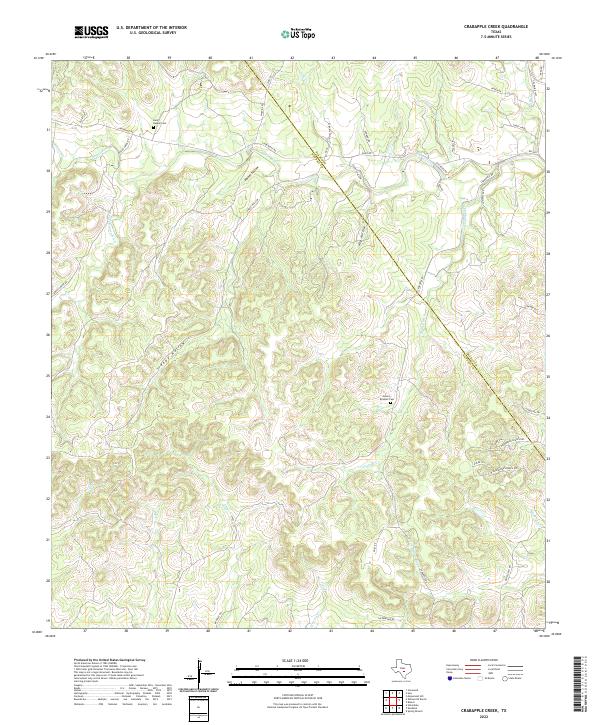
1963 Crabapple Creek
Kendall County, TX
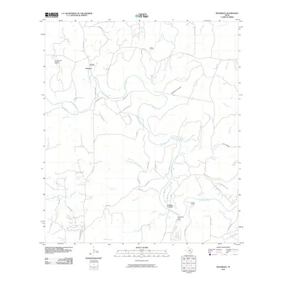
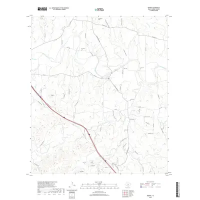
1963 Whitworth Ranch
Kendall County, TX
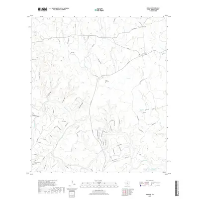
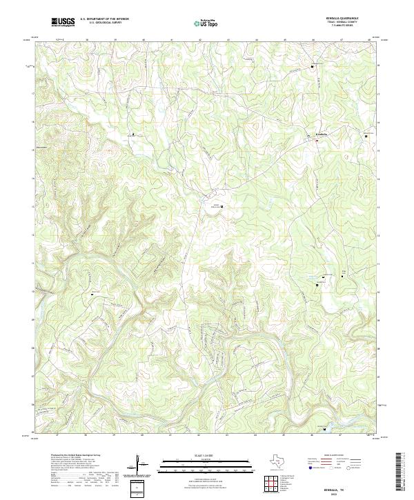
1964 Kendalia
Kendall County, TX
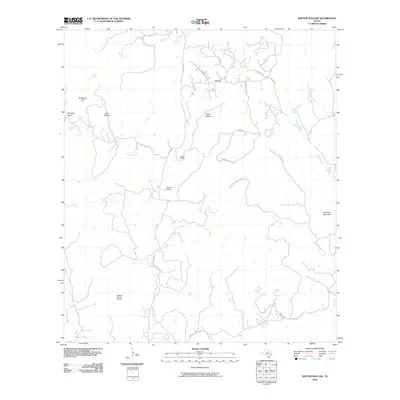
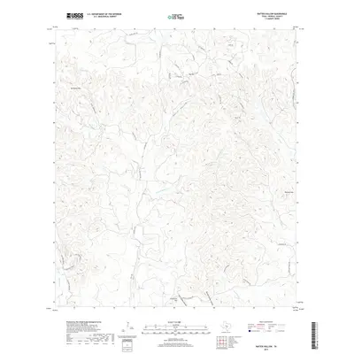
1964 Rafter Hollow
Kendall County, TX
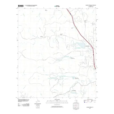
1964 Ranger Creek
Kendall County, TX
1964 Sisterdale
Kendall County, TX
1964 Waring
Kendall County, TX
2010 Crabapple Creek
Kendall County, TX
2010 Kendalia
Kendall County, TX
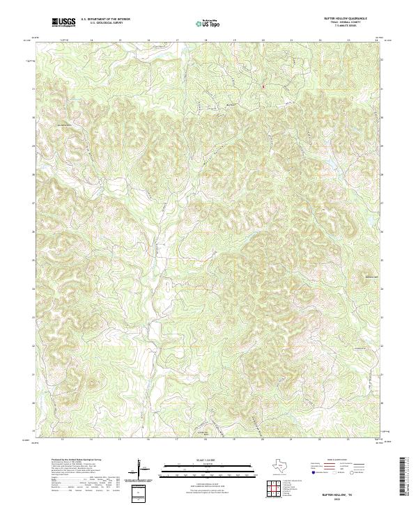
2010 Rafter Hollow
Kendall County, TX
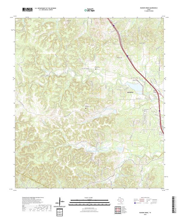
2010 Ranger Creek
Kendall County, TX
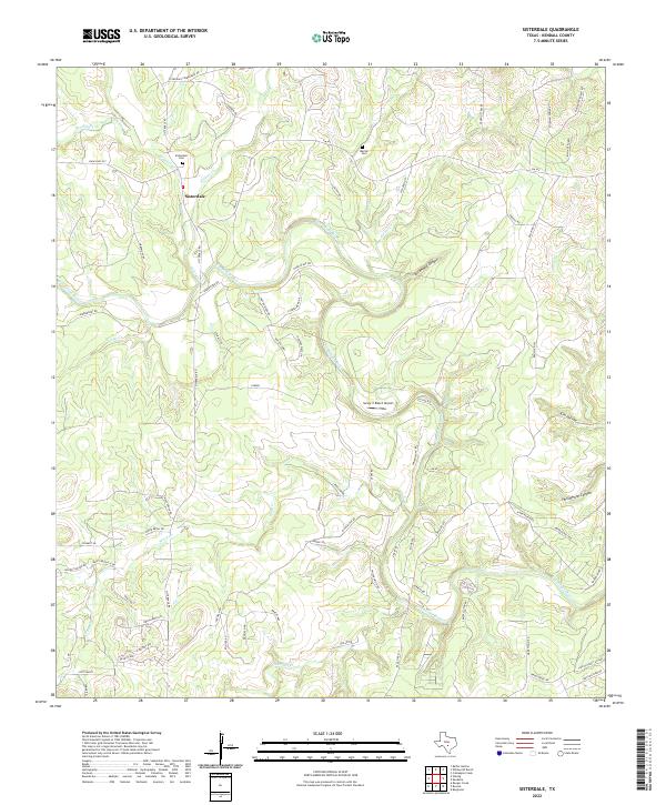
2010 Sisterdale
Kendall County, TX
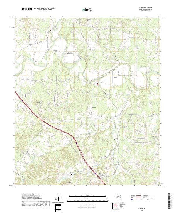
2010 Waring
Kendall County, TX
2010 Whitworth Ranch
Kendall County, TX
2012 Crabapple Creek
Kendall County, TX
2012 Rafter Hollow
Kendall County, TX
2012 Whitworth Ranch
Kendall County, TX
2013 Kendalia
Kendall County, TX
2013 Ranger Creek
Kendall County, TX
2013 Sisterdale
Kendall County, TX
2013 Waring
Kendall County, TX
2016 Crabapple Creek
Kendall County, TX
2016 Kendalia
Kendall County, TX
2016 Rafter Hollow
Kendall County, TX
2016 Ranger Creek
Kendall County, TX
2016 Sisterdale
Kendall County, TX
2016 Waring
Kendall County, TX
2016 Whitworth Ranch
Kendall County, TX
2019 Crabapple Creek
Kendall County, TX
2019 Kendalia
Kendall County, TX
2019 Rafter Hollow
Kendall County, TX

2019 Ranger Creek
Kendall County, TX
2019 Sisterdale
Kendall County, TX
2019 Waring
Kendall County, TX
2019 Whitworth Ranch
Kendall County, TX
2022 Crabapple Creek
Kendall County, TX
2022 Kendalia
Kendall County, TX
2022 Rafter Hollow
Kendall County, TX
2022 Ranger Creek
Kendall County, TX
2022 Sisterdale
Kendall County, TX
2022 Waring
Kendall County, TX
2022 Whitworth Ranch
Kendall County, TX