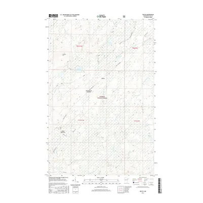
2016 Map of Whyte
USGS Topo · Published 2016About this map
Superior National Forest encompasses this expansive section of Lake County, where the topography is defined by the headwaters of several major waterways. The Stoney River and Cloquet River course through a landscape dotted with numerous small lakes, including Source Lake, Phantom Lake, and Lillian Lake. The presence of Peabody Hill offers a rare point of elevation in a region otherwise characterized by wetlands and seasonal drainages like Wenho Cr and Cloudy Spring Cr.
Find a feature on this map
27 named features on this map. Tap any name to fly to it.
Don’t see what you’re looking for? This feature index may not catch every label — zoom into the map to look around manually.
Map Details
Editions of this 2016 Whyte Map
This is the sole edition of this map. No revisions or reprints were ever made.
Other maps of this area

1953 · Whyte
USGS Topo · 1:62,500

1954 · Greenwood Lake
USGS Topo · 1:62,500

1954 · Silver Bay
USGS Topo · 1:62,500

1954 · Two Harbors
USGS Topo · 1:250,000

1955 · Isabella
USGS Topo · 1:62,500

1957 · Two Harbors
USGS Topo · 1:250,000

1958 · Two Harbors
USGS Topo · 1:250,000

1964 · Two Harbors
USGS Topo · 1:250,000

1976 · Two Harbors
USGS Topo · 1:100,000
1981 · Legler Lake
USGS Topo · 1:24,000