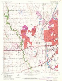
1961 Map of Wichita West
USGS Topo · Published 1971About this map
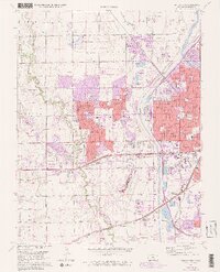
The Arkansas River and the massive Valley Center Floodway define the western reaches of the city during a period of rapid suburbanization. New residential developments like Westlink Village, Rolling Hills, and County Acres push into former farmland, while the presence of Wichita Municipal Airport and the nearby Cessna Water facility underscore the region's mid-century aviation identity.
Find a feature on this map
60 named features on this map. Tap any name to fly to it.
Don’t see what you’re looking for? This feature index may not catch every label — zoom into the map to look around manually.
Map Details
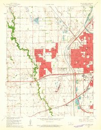
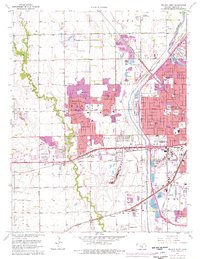
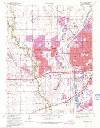
Editions of this 1961 Wichita West Map
5 editions found
Other maps of this area

1889 · Cheney
USGS Topo · 1:125,000

1889 · Wichita
USGS Topo · 1:125,000

1891 · Cheney
USGS Topo · 1:125,000

1894 · Wichita
USGS Topo · 1:125,000

1901 · Cheney
USGS Topo · 1:125,000

1941 · Maize
USGS Topo · 1:31,680

1941 · Valley Center
USGS Topo · 1:31,680

1942 · Valley Center
USGS Topo · 1:31,680

1942 · Maize
USGS Topo · 1:31,680

1943 · Wichita West
USGS Topo · 1:31,680