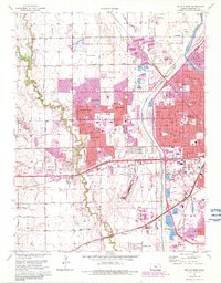
1961 Map of Wichita West
USGS Topo · Published 1983About this map
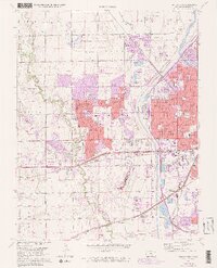
Wichita Mid-Continent Airport anchors the southwestern expansion of the city, illustrating the post-war transition from rural Delano Twp into a sprawling residential and industrial hub. The landscape is defined by the massive Wichita Valley Center Floodway and the Arkansas River, which frame a dense network of suburban developments like Westlink Village, Rolling Hills, and County Acres. The influence of the Missouri Pacific and Atchison Topeka and Santa Fe railroads remains visible, cutting through the urban grid toward the industrial sectors and sandpits near Horseshoe Lake. Educational and religious institutions, including Sacred Heart College and Friends University, are prominent landmarks among numerous neighborhood schools like McCollom Sch and Benton Sch. Cultural and civic history is further detailed through several major burial grounds, such as Resthaven Cemetery and the older Jamesburg Cem.
Find a feature on this map
63 named features on this map. Tap any name to fly to it.
Don’t see what you’re looking for? This feature index may not catch every label — zoom into the map to look around manually.
Map Details
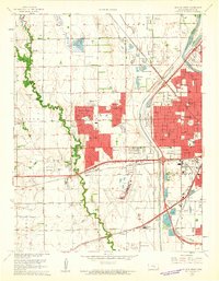
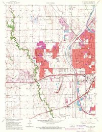
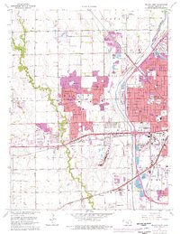
Editions of this 1961 Wichita West Map
5 editions found
Other maps of this area

1889 · Cheney
USGS Topo · 1:125,000

1889 · Wichita
USGS Topo · 1:125,000

1891 · Cheney
USGS Topo · 1:125,000

1894 · Wichita
USGS Topo · 1:125,000

1901 · Cheney
USGS Topo · 1:125,000

1941 · Maize
USGS Topo · 1:31,680

1941 · Valley Center
USGS Topo · 1:31,680

1942 · Valley Center
USGS Topo · 1:31,680

1942 · Maize
USGS Topo · 1:31,680

1943 · Wichita West
USGS Topo · 1:31,680