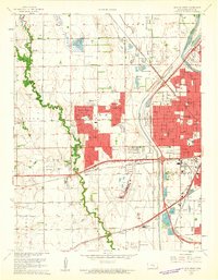
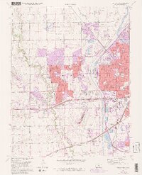
1961 Map of Wichita West
USGS Topo · Published 1961About this map
Wichita’s westward expansion is clearly visible in this early 1960s study, where suburban developments like Westlink Village, County Acres, and Rolling Hills push into the agricultural landscape of Delano and Illinois townships. The urban grid meets the meandering path of Cowskin Creek, while the massive footprint of the Wichita Municipal Airport and the nearby Sacred Heart College anchor the southwestern corridor. Transportation networks define the area's growth, with the Atchison Topeka and Santa Fe and Missouri Pacific railroads bisecting the terrain alongside major arteries like Central Avenue. Local community life is documented through numerous educational sites such as Hadley Sch, Kensler Sch, and Benton Sch, as well as landmarks like the Resthaven Cemetery and the Drive-in Theater near the Arkansas River. Small water bodies such as Cadillac Lake and various sandpits reflect the local hydrology and industry that supported the city's mid-century building boom.
Find a feature on this map
54 named features on this map. Tap any name to fly to it.
Don’t see what you’re looking for? This feature index may not catch every label — zoom into the map to look around manually.
Map Details
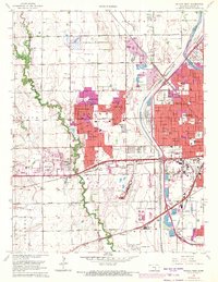
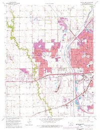
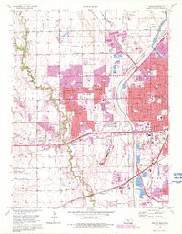
Editions of this 1961 Wichita West Map
5 editions found
Other maps of this area

1889 · Cheney
USGS Topo · 1:125,000

1889 · Wichita
USGS Topo · 1:125,000

1891 · Cheney
USGS Topo · 1:125,000

1894 · Wichita
USGS Topo · 1:125,000

1901 · Cheney
USGS Topo · 1:125,000

1941 · Maize
USGS Topo · 1:31,680

1941 · Valley Center
USGS Topo · 1:31,680

1942 · Valley Center
USGS Topo · 1:31,680

1942 · Maize
USGS Topo · 1:31,680

1943 · Wichita West
USGS Topo · 1:31,680