
1972 Map of Wickahoney Point
USGS Topo · Published 1975About this map
Wickahoney Point and the surrounding high desert of Owyhee County were documented during this 1970s survey, showing a landscape defined by seasonal water management and isolated cattle ranching infrastructure. The presence of Antelope Spring Corral and various Jeep Trails indicates the active use of this arid terrain for grazing. Water sources are critical landmarks here, with features like Duncan Creek Crossing, Horseshoe Reservoir, and Arrow Point Reservoir providing essential catchments in a region drained by the deep cuts of Zeno Canyon and Cottonwood Creek.
Find a feature on this map
23 named features on this map. Tap any name to fly to it.
Don’t see what you’re looking for? This feature index may not catch every label — zoom into the map to look around manually.
Map Details
Editions of this 1972 Wickahoney Point Map
This is the sole edition of this map. No revisions or reprints were ever made.
Other maps of this area

1955 · Jordan Valley
USGS Topo · 1:250,000

1955 · Twin Falls
USGS Topo · 1:250,000

1956 · Big Hill
USGS Topo · 1:62,500

1957 · Jordan Valley
USGS Topo · 1:250,000

1958 · Twin Falls
USGS Topo · 1:250,000

1958 · Jordan Valley
USGS Topo · 1:250,000
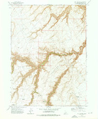
1972 · Hill Pasture
USGS Topo · 1:24,000

1972 · Little Blue Table
USGS Topo · 1:24,000

1972 · Turner Table
USGS Topo · 1:24,000
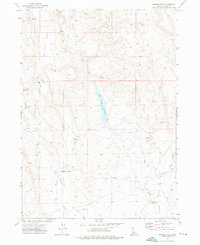
1972 · Nichol Flat
USGS Topo · 1:24,000