
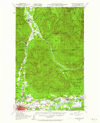
1951 Map of Wickersham
USGS Topo · Published 1953About this map
Skagit River and the South Fork Nooksack River valleys define the industrial and agricultural landscape of this 1951 revision. The corridor between Sedro-Woolley and Hamilton is dense with the traces of early 20th-century development, including the sprawling Northern State Hospital complex and the Cokedale Mine. The rail-dependent economy of the era is evident along the Northern Pacific line, connecting timber and mining outposts like Wickersham, Acme, and Cokedale.
Find a feature on this map
52 named features on this map. Tap any name to fly to it.
Don’t see what you’re looking for? This feature index may not catch every label — zoom into the map to look around manually.
Map Details
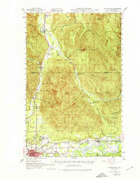
Editions of this 1951 Wickersham Map
3 editions found
Other maps of this area

1899 · Stillaguamish
USGS Topo · 1:125,000

1901 · Stilaguamish
USGS Topo · 1:125,000

1906 · Sumas
USGS Topo · 1:62,500

1908 · Sumas
USGS Topo · 1:62,500

1909 · Mt Baker
USGS Topo · 1:192,000

1911 · Mount Vernon
USGS Topo · 1:125,000

1915 · Mt. Baker
USGS Topo · 1:250,000

1918 · Samish Lake
USGS Topo · 1:62,500

1919 · Van Zandt
USGS Topo · 1:62,500

1921 · Wickersham
USGS Topo · 1:62,500