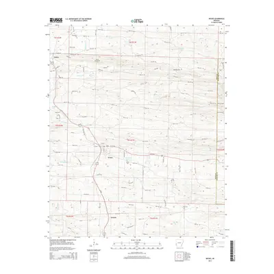
2014 Map of Wickes
USGS Topo · Published 2014About this map
The Kansas City Southern railroad corridor dictates the settlement pattern of this Polk County landscape, linking the communities of Hatton, Wickes, and Grannis. These towns are established along the north-south transit spine, set against the rising elevations of the Cross Mountains and the passage of Bradley Gap. The drainage network is well-defined by the Rolling Fork and Cossatot River, which carve through the terrain alongside numerous smaller tributaries like Caney Creek and Cow Creek.
Find a feature on this map
102 named features on this map. Tap any name to fly to it.
Don’t see what you’re looking for? This feature index may not catch every label — zoom into the map to look around manually.
Map Details
Editions of this 2014 Wickes Map
This is the sole edition of this map. No revisions or reprints were ever made.
Other maps of this area

1913 · De Queen
USGS Topo · 1:125,000

1950 · Mcalester
USGS Topo · 1:250,000

1959 · Umpire
USGS Topo · 1:62,500

1959 · Cove
USGS Topo · 1:62,500

1962 · McAlester
USGS Topo · 1:250,000

1964 · Gillham Dam
USGS Topo · 1:24,000

1964 · Gillham
USGS Topo · 1:24,000

1965 · McAlester
USGS Topo · 1:250,000
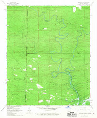
1966 · De Queen NW
USGS Topo · 1:24,000
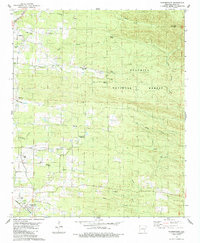
1984 · Vandervoort
USGS Topo · 1:24,000