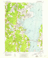
1957 Map of Wickford
USGS Topo · Published 1959About this map
Quonset Point Naval Air Station and the Construction Battalion Center dominate the shoreline north of Wickford, reflecting the significant military footprint in mid-century Rhode Island. The landscape transitions from these industrial and naval installations into the historic coastal villages of Hamilton, Belleville, and Saundertown, where the economy was traditionally tied to the West Passage and local water power. The New York New Haven and Hartford RR provides a vital inland connection, passing through Wickford Junction and Davisville.
Find a feature on this map
120 named features on this map. Tap any name to fly to it.
Don’t see what you’re looking for? This feature index may not catch every label — zoom into the map to look around manually.
Map Details
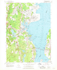
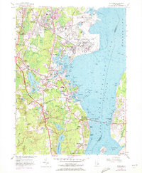
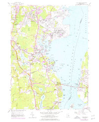
Editions of this 1957 Wickford Map
4 editions found
Other maps of this area

1889 · Charlestown
USGS Topo · 1:62,500

1889 · Newport
USGS Topo · 1:62,500

1890 · Narragansett Bay
USGS Topo · 1:62,500

1890 · Kent
USGS Topo · 1:62,500

1892 · Narragansett Bay
USGS Topo · 1:62,500

1894 · Kent
USGS Topo · 1:62,500

1894 · Newport
USGS Topo · 1:62,500

1904 · Newport
USGS Topo · 1:62,500

1919 · Charlestown
USGS Topo · 1:62,500

1919 · Narragansett Bay
USGS Topo · 1:62,500