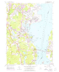
1957 Map of Wickford
USGS Topo · Published 1976About this map
The Quonset Point Naval Air Station and the Construction Battalion Center dominate the shoreline of the West Passage in this mid-century survey. This coastal landscape is a complex mix of military infrastructure and established Rhode Island villages like Wickford, Hamilton, and Saunderstown. The presence of several schools, including Kiefer Sch and the High Sch at Wickford, alongside the Drive-in Theater near Davisville, illustrates the post-war development of the region.
Find a feature on this map
122 named features on this map. Tap any name to fly to it.
Don’t see what you’re looking for? This feature index may not catch every label — zoom into the map to look around manually.
Map Details
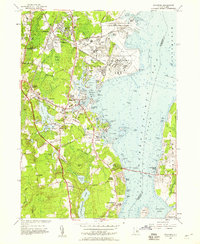
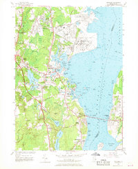
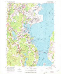
Editions of this 1957 Wickford Map
4 editions found
Other maps of this area

1889 · Charlestown
USGS Topo · 1:62,500

1889 · Newport
USGS Topo · 1:62,500

1890 · Narragansett Bay
USGS Topo · 1:62,500

1890 · Kent
USGS Topo · 1:62,500

1892 · Narragansett Bay
USGS Topo · 1:62,500

1894 · Kent
USGS Topo · 1:62,500

1894 · Newport
USGS Topo · 1:62,500

1904 · Newport
USGS Topo · 1:62,500

1919 · Charlestown
USGS Topo · 1:62,500

1919 · Narragansett Bay
USGS Topo · 1:62,500