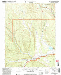
2002 Map of Wide Hollow Reservoir
USGS Topo · Published 2005About this map
Griffin Ranch and several other family-named outposts like Riddle Ranch and Hall Ranch anchor this landscape of canyons and high plateaus. The topography is dominated by the Wide Hollow drainage leading into the Wide Hollow Reservoir, a vital water resource managed within Escalante State Park. The map documents a complex intersection of public land management, where the Escalante Ranger District of the Dixie National Forest meets the massive Grand Staircase Escalante National Monument. Evidence of the region’s hydraulic and transportation history is visible in the network of creeks like North Fork Creek and the route of the All American Road along Highway 12. To the northeast, the remote character of the terrain is preserved within the Box Death Hollow Wilderness, while historical human activity is marked by various ruins and a gaging station along the Escalante River.
Find a feature on this map
34 named features on this map. Tap any name to fly to it.
Don’t see what you’re looking for? This feature index may not catch every label — zoom into the map to look around manually.
Map Details
Editions of this 2002 Wide Hollow Reservoir Map
This is the sole edition of this map. No revisions or reprints were ever made.
Other maps of this area

1886 · Escalante
USGS Topo · 1:250,000

1956 · Escalante
USGS Topo · 1:250,000

1960 · Escalante
USGS Topo · 1:250,000

1964 · Griffin Point
USGS Topo · 1:24,000

1964 · Barker Reservoir
USGS Topo · 1:24,000

1964 · Dave Canyon
USGS Topo · 1:24,000

1964 · Canaan Creek
USGS Topo · 1:24,000
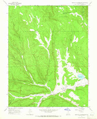
1964 · Wide Hollow Reservoir
USGS Topo · 1:24,000
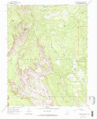
1964 · Roger Peak
USGS Topo · 1:24,000
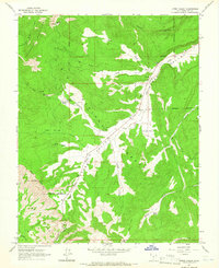
1964 · Upper Valley
USGS Topo · 1:24,000