
1971 Map of Wide Ruins
USGS Topo · Published 1974About this map
The Navajo Indian Reservation landscape shown here in the early 1970s is defined by a remote network of springs, wells, and seasonal washes. The settlement at Wide Ruins serves as a central hub, anchored by its Trading Post and proximity to essential water sources like Pigeon Spring and Lichee Sinil Spring. The topography is marked by significant elevation changes, from the heights of Oak Ridge down to the named drainage of Bent Knee. Scattered across the terrain, family-named landmarks and infrastructure such as the Autsidy Smith Well and Tom Joe Spring indicate the localized nature of pastoral life and water management in this part of Apache County. The presence of a Gravel Pit, Sandpit, and several Prospect locations suggests intermittent mineral extraction or road-building activity within the arid environment. Numerous trails and jeep tracks crisscross the Red Hills, providing the primary means of navigation through the breaks and washes.
Find a feature on this map
24 named features on this map. Tap any name to fly to it.
Don’t see what you’re looking for? This feature index may not catch every label — zoom into the map to look around manually.
Map Details
Editions of this 1971 Wide Ruins Map
This is the sole edition of this map. No revisions or reprints were ever made.
Other maps of this area

1886 · Fort Defiance
USGS Topo · 1:250,000

1892 · Fort Defiance
USGS Topo · 1:250,000

1954 · Gallup
USGS Topo · 1:250,000

1958 · Gallup
USGS Topo · 1:250,000

1959 · Gallup
USGS Topo · 1:250,000

1962 · Gallup
USGS Topo · 1:250,000

1967 · Gallup
USGS Topo · 1:250,000

1971 · Burntwater Wash
USGS Topo · 1:24,000
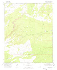
1971 · Tudecoz Spring
USGS Topo · 1:24,000
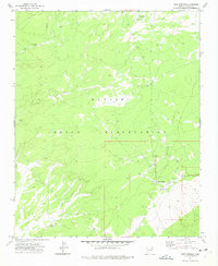
1971 · Pine Springs
USGS Topo · 1:24,000