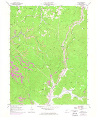
1967 Map of Widen
USGS Topo · Published 1977About this map
Extractive industry and rugged ridges define this section of the Central West Virginia coalfields as recorded in the 1960s and updated in the mid-1970s. The settlement of Widen sits at the heart of the landscape, marked by its Tipple and nearby Substation, reflecting the area's history as a company coal town. The terrain is dominated by Hamilton Mountain and Browns Ridge, where numerous operations labeled as Strip Mine follow the contour of the hills. Transport is anchored by the B & O railroad line, which snakes along the banks of Birch River in the northeastern corner near Opal. Genealogists will find family-named locations such as Butcher Cem and the Young Monument on Powell Mountain, alongside community centers like the Little Creek Union Ch. The map captures a moment of transition where traditional small settlements like Wattsville and Dille coexist with expanding surface mining and gas exploration across the Muddlety Creek watershed.
Find a feature on this map
53 named features on this map. Tap any name to fly to it.
Don’t see what you’re looking for? This feature index may not catch every label — zoom into the map to look around manually.
Map Details
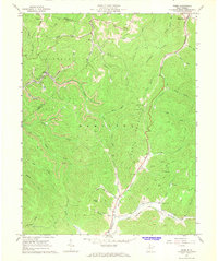
Editions of this 1967 Widen Map
2 editions found
Other maps of this area

1889 · Nicholas
USGS Topo · 1:125,000

1891 · Nicholas
USGS Topo · 1:125,000

1893 · Sutton
USGS Topo · 1:125,000

1901 · Nicholas
USGS Topo · 1:125,000

1908 · Gassaway
USGS Topo · 1:48,000

1908 · Sutton
USGS Topo · 1:48,000

1910 · Sutton Special
USGS Topo · 1:62,500

1910 · Gassaway
USGS Topo · 1:62,500

1913 · Summersville
USGS Topo · 1:48,000

1915 · Cowen
USGS Topo · 1:48,000