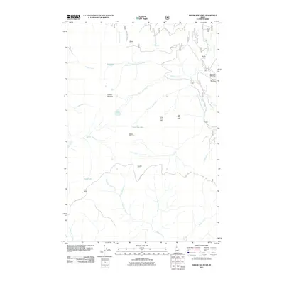
2011 Map of Widow Mountain
USGS Topo · Published 2011About this map
Widow Mountain stands as a central topographic anchor in this high-elevation region of Idaho's St. Joe National Forest. The drainage pattern is defined by the Little North Fork Clearwater River and its numerous tributaries, including Floodwood Creek and Lund Creek, which carve deep valleys between high ridges. Higher elevations are marked by a series of distinct peaks and ridges such as Lookout Mountain, Crater Peak, and Long Hike Peak.
Find a feature on this map
39 named features on this map. Tap any name to fly to it.
Don’t see what you’re looking for? This feature index may not catch every label — zoom into the map to look around manually.
Map Details
Editions of this 2011 Widow Mountain Map
This is the sole edition of this map. No revisions or reprints were ever made.
Other maps of this area

1914 · Avery
USGS Topo · 1:125,000

1917 · Avery
USGS Topo · 1:125,000

1923 · Washington Creek
USGS Topo · 1:125,000

1936 · Boehls Butte
USGS Topo · 1:48,000

1943 · Boehls Butte
USGS Topo · 1:62,500

1955 · Pullman
USGS Topo · 1:250,000

1955 · Spokane
USGS Topo · 1:250,000

1956 · Wallace
USGS Topo · 1:250,000

1956 · Hamilton
USGS Topo · 1:250,000

1958 · Spokane
USGS Topo · 1:250,000