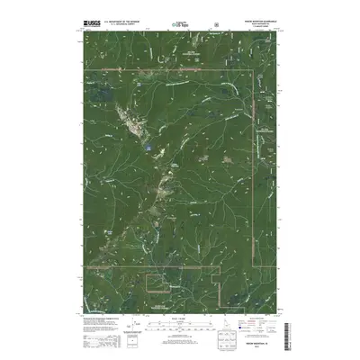
2013 Map of Widow Mountain
USGS Topo · Published 2013About this map
The St. Joe National Forest dominates this high-altitude landscape in northern Idaho, defined by the deep drainages of the Little N Fork Clearwater River and Marble Creek. This territory is primarily accessible via Forest Service routes such as St Joe NFD 760 and the storied Gold Center Rd, reflecting a landscape managed for timber and wilderness preservation. High peaks like Widow Mountain, Lookout Mountain, and Crater Peak provide the topographic framework for numerous alpine basins, including those containing Lost Lake and Crater Lake. Human presence is marked by isolated sites like Camp Forty-Four, the evocative Haunted Cabin, and high-elevation clearings such as Fortynine Meadows and Fortune Meadows. These labels suggest a history of early 20th-century logging camps and seasonal high-country grazing or trapping stations.
Find a feature on this map
47 named features on this map. Tap any name to fly to it.
Don’t see what you’re looking for? This feature index may not catch every label — zoom into the map to look around manually.
Map Details
Editions of this 2013 Widow Mountain Map
This is the sole edition of this map. No revisions or reprints were ever made.
Other maps of this area

1914 · Avery
USGS Topo · 1:125,000

1917 · Avery
USGS Topo · 1:125,000

1923 · Washington Creek
USGS Topo · 1:125,000

1936 · Boehls Butte
USGS Topo · 1:48,000

1943 · Boehls Butte
USGS Topo · 1:62,500

1955 · Pullman
USGS Topo · 1:250,000

1955 · Spokane
USGS Topo · 1:250,000

1956 · Wallace
USGS Topo · 1:250,000

1956 · Hamilton
USGS Topo · 1:250,000

1958 · Spokane
USGS Topo · 1:250,000