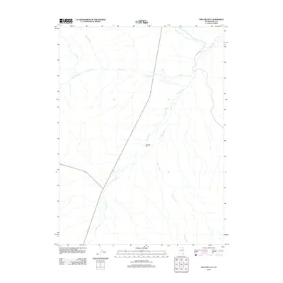
2012 Map of Wieland Flat
USGS Topo · Published 2012About this map
Wieland Flat and its surrounding drainage systems define this high-desert basin in northeastern Nevada. The landscape is marked by a complex network of ephemeral and perennial watercourses, including the wide-reaching Dorsey Creek and Willow Creek, which converge in the southern reaches of the quadrangle. To the north, Pie Creek is fed by tributaries such as McClellan Creek and Spring Branch, illustrating the critical role of these waterways in an arid environment.
Find a feature on this map
9 named features on this map. Tap any name to fly to it.
Don’t see what you’re looking for? This feature index may not catch every label — zoom into the map to look around manually.
Map Details
Editions of this 2012 Wieland Flat Map
This is the sole edition of this map. No revisions or reprints were ever made.
Other maps of this area

1955 · Wells
USGS Topo · 1:250,000

1958 · Wells
USGS Topo · 1:250,000

1958 · Singletree Creek
USGS Topo · 1:24,000

1961 · Wells
USGS Topo · 1:250,000

1971 · Mahala Creek West
USGS Topo · 1:24,000
1971 · Coal Mine Basin
USGS Topo · 1:24,000
1971 · Dinner Station
USGS Topo · 1:24,000
1971 · The Buttes
USGS Topo · 1:24,000
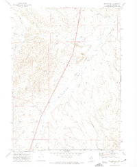
1971 · Wieland Flat
USGS Topo · 1:24,000
1971 · Reed Station
USGS Topo · 1:24,000