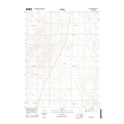
2014 Map of Wieland Flat
USGS Topo · Published 2014About this map
Wieland Flat and the surrounding Elko County high country are defined by a complex network of seasonal and perennial watercourses that dictate the movement of people and livestock through this high desert terrain. The map details a landscape where China Spring serves as a critical water source among the drainages of Dorsey Cr and Willow Cr. This 2014 survey shows a region deeply tied to its hydrological patterns, with features like Tule Valley and Pie Cr illustrating how water shapes the geography of the Great Basin. Small-scale tributaries including Spring Br, Eagle Rock Cr, and McClellan Cr feed into larger basins, providing essential data for those studying the natural history and land management of these remote Nevada townships.
Find a feature on this map
16 named features on this map. Tap any name to fly to it.
Don’t see what you’re looking for? This feature index may not catch every label — zoom into the map to look around manually.
Map Details
Editions of this 2014 Wieland Flat Map
This is the sole edition of this map. No revisions or reprints were ever made.
Other maps of this area

1955 · Wells
USGS Topo · 1:250,000

1958 · Wells
USGS Topo · 1:250,000

1958 · Singletree Creek
USGS Topo · 1:24,000

1961 · Wells
USGS Topo · 1:250,000

1971 · Mahala Creek West
USGS Topo · 1:24,000
1971 · Coal Mine Basin
USGS Topo · 1:24,000
1971 · Dinner Station
USGS Topo · 1:24,000
1971 · The Buttes
USGS Topo · 1:24,000
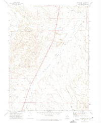
1971 · Wieland Flat
USGS Topo · 1:24,000
1971 · Reed Station
USGS Topo · 1:24,000