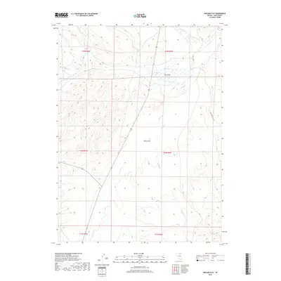
2018 Map of Wieland Flat
USGS Topo · Published 2018About this map
Wieland Flat and the surrounding high basins of Elko County are defined by an intricate network of intermittent drainages and seasonal water sources. The landscape is characterized by its wide, open flats, including Tule Valley, where China Spring and Pie Cr provide critical water points in an otherwise arid environment. The presence of Coal Mine Rd cutting through the eastern sections hints at the region's industrial or utility-based access routes, connecting these higher elevations to the broader Nevada backcountry.
Find a feature on this map
16 named features on this map. Tap any name to fly to it.
Don’t see what you’re looking for? This feature index may not catch every label — zoom into the map to look around manually.
Map Details
Editions of this 2018 Wieland Flat Map
This is the sole edition of this map. No revisions or reprints were ever made.
Other maps of this area

1955 · Wells
USGS Topo · 1:250,000

1958 · Wells
USGS Topo · 1:250,000

1958 · Singletree Creek
USGS Topo · 1:24,000

1961 · Wells
USGS Topo · 1:250,000

1971 · Mahala Creek West
USGS Topo · 1:24,000
1971 · Coal Mine Basin
USGS Topo · 1:24,000
1971 · Dinner Station
USGS Topo · 1:24,000
1971 · The Buttes
USGS Topo · 1:24,000
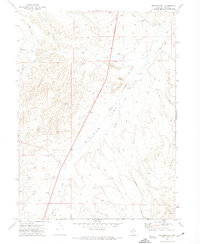
1971 · Wieland Flat
USGS Topo · 1:24,000
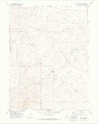
1971 · Reed Station
USGS Topo · 1:24,000