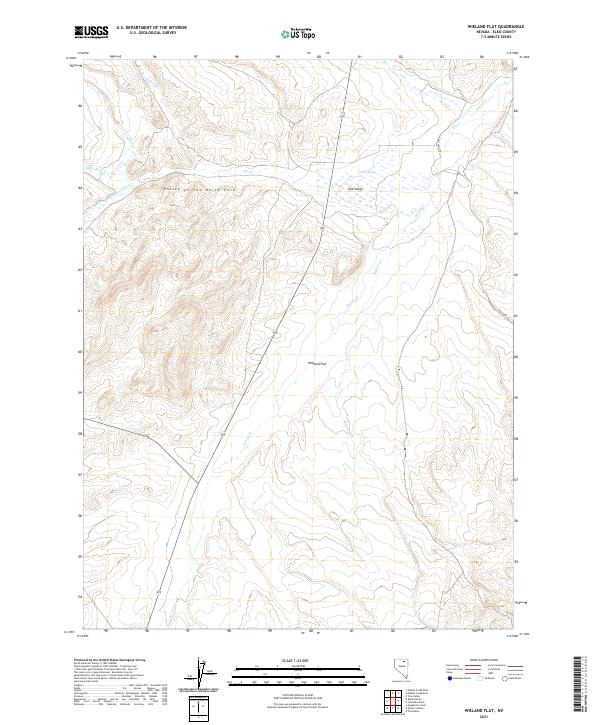
2021 Map of Wieland Flat
USGS Topo · Published 2021About this map
Wieland Flat and the surrounding Elko County landscape are defined by a complex network of seasonal drainages and high-desert basins. This 2021 digital revision shows a terrain carved by McClellan Cr, Dorsey Cr, and Willow Cr, which converge toward the Valley of the North Fork. The drainage patterns here suggest a reliance on ephemeral water sources, with China Spring serving as a notable point of interest in the Tule Valley region. Historically significant infrastructure is sparse, though Coal Mine Rd provides the primary access route through the eastern portion of the quadrangle. The map captures the persistence of traditional land management boundaries, marked by the intersection of several townships including t39n r54e and t38n r55e, illustrating the continued use of the Public Land Survey System in organizing this remote Nevada territory.
Find a feature on this map
18 named features on this map. Tap any name to fly to it.
Don’t see what you’re looking for? This feature index may not catch every label — zoom into the map to look around manually.
Map Details
Editions of this 2021 Wieland Flat Map
This is the sole edition of this map. No revisions or reprints were ever made.
Other maps of this area

1955 · Wells
USGS Topo · 1:250,000

1958 · Wells
USGS Topo · 1:250,000

1958 · Singletree Creek
USGS Topo · 1:24,000

1961 · Wells
USGS Topo · 1:250,000

1971 · Mahala Creek West
USGS Topo · 1:24,000
1971 · Coal Mine Basin
USGS Topo · 1:24,000
1971 · Dinner Station
USGS Topo · 1:24,000
1971 · The Buttes
USGS Topo · 1:24,000
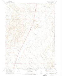
1971 · Wieland Flat
USGS Topo · 1:24,000
1971 · Reed Station
USGS Topo · 1:24,000