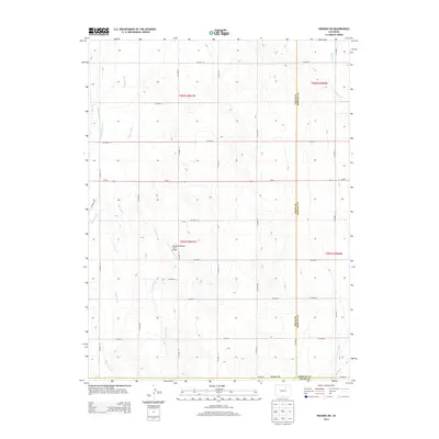
2013 Map of Wiggins SW
USGS Topo · Published 2013About this map
The high plains of Colorado are defined here by a series of parallel drainage systems, including Kiowa Creek, Jack Rabbit Creek, and Mule Creek, which carve gentle north-trending valleys through the landscape. This 2013 survey of the region where Morgan, Weld, and Adams counties meet reveals a sparsely populated agricultural environment dominated by a rigid section-line road grid. The Westberg-Rosling Farms Airport serves as a lone named landmark amidst the vast stretches of ranchland and dry-land farming. Human engineering of the local hydrology is evident in the Nile Ditch in the southeastern corner, which diverted water for early 20th-century irrigation efforts. The primary east-west corridor across this territory is Co-52, providing a vital link for the isolated farmsteads situated between Goose Creek and the surrounding county boundaries.
Find a feature on this map
35 named features on this map. Tap any name to fly to it.
Don’t see what you’re looking for? This feature index may not catch every label — zoom into the map to look around manually.
Map Details
Editions of this 2013 Wiggins SW Map
This is the sole edition of this map. No revisions or reprints were ever made.
Other maps of this area

1950 · Wiggins
USGS Topo · 1:24,000

1950 · South Roggen
USGS Topo · 1:24,000

1950 · Wiggins SW
USGS Topo · 1:24,000

1950 · Hoyt
USGS Topo · 1:24,000

1951 · Hoyt
USGS Topo · 1:24,000

1951 · Living Springs
USGS Topo · 1:24,000

1951 · Roggen
USGS Topo · 1:24,000

1951 · Leader NW
USGS Topo · 1:24,000

1951 · Omar
USGS Topo · 1:24,000

1951 · Leader
USGS Topo · 1:24,000