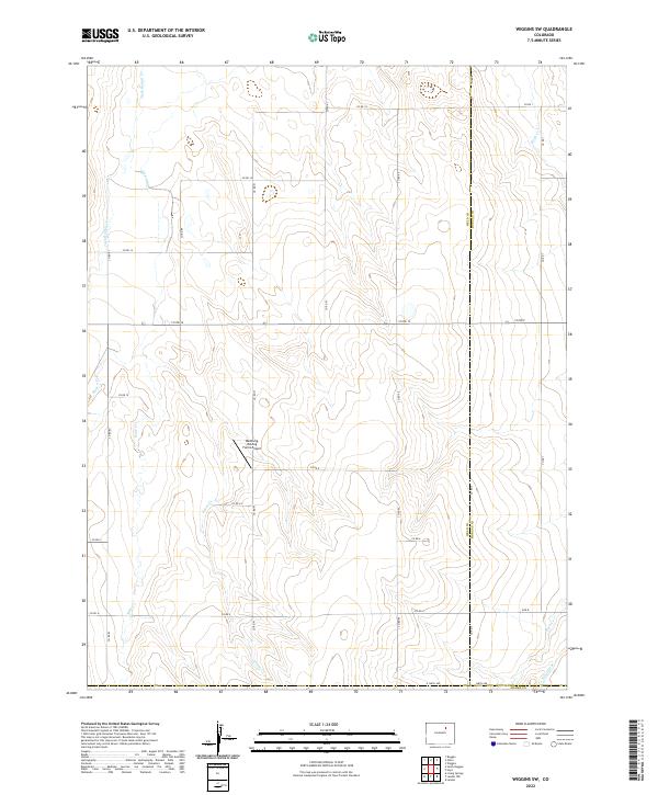
2022 Map of Wiggins SW
USGS Topo · Published 2022About this map
Westberg-Rosling Farms Airport sits at the heart of this agricultural landscape along the boundary between Weld and Morgan Counties. The terrain is defined by a series of intermittent drainages including Kiowa Cr, Jack Rabbit Cr, and Mule Cr, which flow northward toward the Platte River valley. This 2022 survey illustrates the modern configuration of the Public Land Survey System, with a dense grid of rural roads such as Co RD 12 and Co RD 93 providing access to expansive farm plots. In the southeast, the presence of the Nile Ditch near the intersection with Adams County signifies the critical role of irrigation infrastructure in maintaining the productivity of these high plains townships, including t1n r61w and t2n r61w.
Find a feature on this map
36 named features on this map. Tap any name to fly to it.
Don’t see what you’re looking for? This feature index may not catch every label — zoom into the map to look around manually.
Map Details
Editions of this 2022 Wiggins SW Map
This is the sole edition of this map. No revisions or reprints were ever made.
Other maps of this area

1950 · Wiggins
USGS Topo · 1:24,000

1950 · South Roggen
USGS Topo · 1:24,000

1950 · Wiggins SW
USGS Topo · 1:24,000

1950 · Hoyt
USGS Topo · 1:24,000

1951 · Hoyt
USGS Topo · 1:24,000

1951 · Living Springs
USGS Topo · 1:24,000

1951 · Roggen
USGS Topo · 1:24,000

1951 · Leader NW
USGS Topo · 1:24,000

1951 · Omar
USGS Topo · 1:24,000

1951 · Leader
USGS Topo · 1:24,000