Loading...
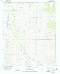
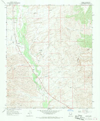
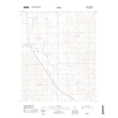
Loading map...1967 Map of Wikieup
USGS Topo · Published 1977About this map
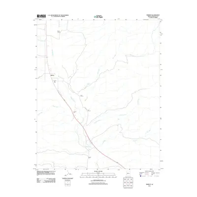
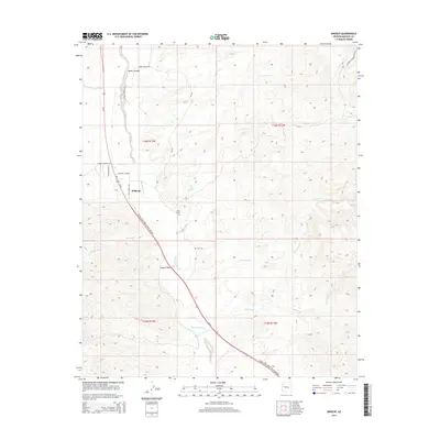
The Big Sandy River forms the central artery of this Mojave County landscape, as documented in the late 1960s. The settlement of Wikieup serves as a focal point along the western riverbank, supported by a nearby Landing Strip and a roadside Rest Area. The surrounding terrain is defined by a complex network of seasonal drainage systems, including Natural Corrals Wash, Boner Canyon, and Bitter Creek, which all contribute to the arid basin geography.
Find a feature on this map
18 named features on this map. Tap any name to fly to it.
Don’t see what you’re looking for? This feature index may not catch every label — zoom into the map to look around manually.
Map Details
Date Portrayed1967
Date Published1977
PublisherU.S. Geological Survey
Map TypeTopographic
Scale1:24,000
Physical Dimensions22 x 26.7 inches
Editions of this 1967 Wikieup Map
2 editions found
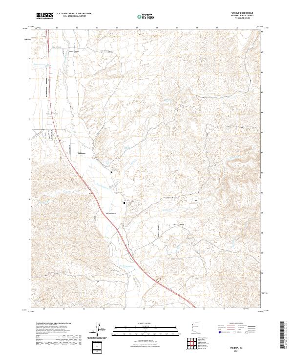
Historical Maps of Wikieup Through Time
5 maps found
Featured Locations
Source Details
SourceU.S. Geological Survey
CopyrightPublic Domain