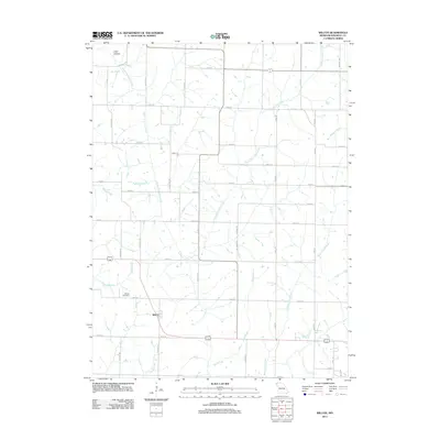
2011 Map of Wilcox
USGS Topo · Published 2011About this map
Wilcox serves as the primary settlement within this section of Nodaway County, situated at the intersection of a grid-like road system and the winding paths of several regional waterways. The landscape is defined by the drainage patterns of South Fork Clear Creek and the meandering Big Slough, which cut across the agricultural plains. Significant local landmarks include Wilcox Cemetery and the uniquely named Toad Hollow in the northern portion of the quadrangle. The map details a transition in the local environment, where named tributaries like Florida Creek, Sand Creek, and White Cloud Creek converge toward larger drainage basins. The road network, characterized by named routes such as Galaxy Rd and Icon Rd, reflects the organized rural development of the early 21st century in Missouri's northwestern corner.
Find a feature on this map
35 named features on this map. Tap any name to fly to it.
Don’t see what you’re looking for? This feature index may not catch every label — zoom into the map to look around manually.
Map Details
Editions of this 2011 Wilcox Map
This is the sole edition of this map. No revisions or reprints were ever made.
Other maps of this area

1939 · Skidmore
USGS Topo · 1:62,500

1940 · Coin
USGS Topo · 1:62,500

1940 · New Market
USGS Topo · 1:62,500

1941 · Skidmore
USGS Topo · 1:62,500

1942 · Skidmore
USGS Topo · 1:62,500

1943 · Coin
USGS Topo · 1:62,500

1943 · Maryville
USGS Topo · 1:62,500

1943 · New Market
USGS Topo · 1:62,500

1955 · Nebraska City
USGS Topo · 1:250,000

1957 · Nebraska City
USGS Topo · 1:250,000