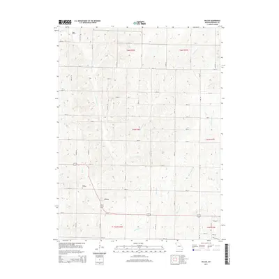
2014 Map of Wilcox
USGS Topo · Published 2014About this map
Wilcox serves as a central point of reference in this agricultural landscape of northern Missouri, situated at the junction of several county roads. The settlement is supported by nearby Wilcox Cemetery, providing a point of interest for those researching local family lineages. To the north, the small community of Toad Hollow sits along the upper reaches of Fountain Rd, surrounded by a regular grid of section lines that define the region's land use.
Find a feature on this map
48 named features on this map. Tap any name to fly to it.
Don’t see what you’re looking for? This feature index may not catch every label — zoom into the map to look around manually.
Map Details
Editions of this 2014 Wilcox Map
This is the sole edition of this map. No revisions or reprints were ever made.
Other maps of this area

1939 · Skidmore
USGS Topo · 1:62,500

1940 · Coin
USGS Topo · 1:62,500

1940 · New Market
USGS Topo · 1:62,500

1941 · Skidmore
USGS Topo · 1:62,500

1942 · Skidmore
USGS Topo · 1:62,500

1943 · Coin
USGS Topo · 1:62,500

1943 · Maryville
USGS Topo · 1:62,500

1943 · New Market
USGS Topo · 1:62,500

1955 · Nebraska City
USGS Topo · 1:250,000

1957 · Nebraska City
USGS Topo · 1:250,000