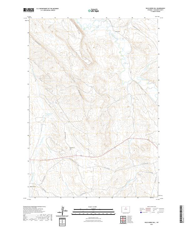
2021 Map of Wild Horse Hill
USGS Topo · Published 2021About this map
Wild Horse Hill rises above a high plains landscape in Washakie County, where the management of water and livestock dictates the local geography. The Nowood River and its tributary Brokenback Cr course through the northeast, while the W Ditch and Big Cottonwood Reservoir represent the necessary infrastructure for agriculture in this arid basin. This modern survey reflects the enduring cattle-country legacy of the region, marked by the long stretch of the W T Stock Driveway and the winding Old Ten Sleep Hwy.
Find a feature on this map
22 named features on this map. Tap any name to fly to it.
Don’t see what you’re looking for? This feature index may not catch every label — zoom into the map to look around manually.
Map Details
Editions of this 2021 Wild Horse Hill Map
This is the sole edition of this map. No revisions or reprints were ever made.
Other maps of this area

1899 · Cloud peak
USGS Topo · 1:125,000

1901 · Cloud Peak
USGS Topo · 1:125,000

1955 · Sheridan
USGS Topo · 1:250,000

1955 · Arminto
USGS Topo · 1:250,000

1958 · Sheridan
USGS Topo · 1:250,000

1958 · Arminto
USGS Topo · 1:250,000

1962 · Sheridan
USGS Topo · 1:250,000

1962 · Arminto
USGS Topo · 1:250,000

1966 · Cabin Fork
USGS Topo · 1:24,000
1966 · Joe Emge Creek
USGS Topo · 1:24,000