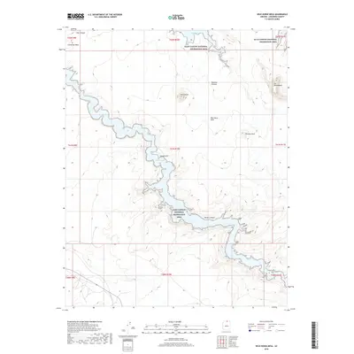
2018 Map of Wild Horse Mesa
USGS Topo · Published 2018About this map
Lake Powell and its branching inlets dominate this portion of the Glen Canyon National Recreation Area in Northern Arizona. The waterway winds through high desert terrain, forming deep recesses like Labyrinth Bay and the extensive, meandering Navajo Canyon. These water features contrast sharply with the elevated landforms that define the horizon, including the prominent Tower Butte and the broad expanses of Wild Horse Mesa and the Rainbow Plateau.
Find a feature on this map
21 named features on this map. Tap any name to fly to it.
Don’t see what you’re looking for? This feature index may not catch every label — zoom into the map to look around manually.
Map Details
Editions of this 2018 Wild Horse Mesa Map
This is the sole edition of this map. No revisions or reprints were ever made.
Other maps of this area

1886 · Escalante
USGS Topo · 1:250,000

1886 · Echo Cliffs
USGS Topo · 1:250,000

1891 · Echo Cliffs
USGS Topo · 1:250,000

1922 · Warm Creek
USGS Topo · 1:63,360

1953 · Cummings Mesa
USGS Topo · 1:62,500

1953 · Gunsight Butte
USGS Topo · 1:62,500

1954 · Leche-E Rock
USGS Topo · 1:62,500

1954 · Navajo Creek
USGS Topo · 1:62,500

1956 · Escalante
USGS Topo · 1:250,000

1956 · Marble Canyon
USGS Topo · 1:250,000