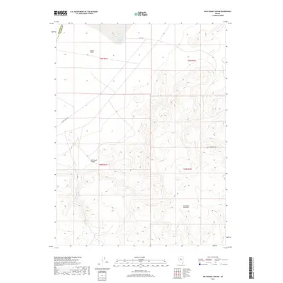
2018 Map of Wild Range Canyon
USGS Topo · Published 2018About this map
Buffalo Valley Hot Springs sits at the northern edge of this high-desert landscape, where the wide floor of Buffalo Valley meets the rising slopes of the Fish Creek Mountains. The area is defined by its geothermal activity and stark topographic contrasts, including the prominent peak of Pinnacle Mtn and the winding course of Wild Range Canyon. Water is scarce here, represented by the ephemeral Daisy Cr and the specialized hydrology of the hot springs. Human activity is centered on rugged transport routes like Buffalo Valley Rd and Co Rd 121, which cross the boundary between Pershing and Lander counties. This 2018 survey provides a clear view of the public land survey system grid as it overlays the basin and range province.
Find a feature on this map
13 named features on this map. Tap any name to fly to it.
Don’t see what you’re looking for? This feature index may not catch every label — zoom into the map to look around manually.
Map Details
Editions of this 2018 Wild Range Canyon Map
This is the sole edition of this map. No revisions or reprints were ever made.
Other maps of this area

1932 · Sonoma Range
USGS Topo · 1:250,000

1939 · Sonoma Range
USGS Topo · 1:250,000

1955 · Winnemucca
USGS Topo · 1:250,000

1958 · Winnemucca
USGS Topo · 1:250,000

1961 · McCoy
USGS Topo · 1:62,500

1961 · The Cedars
USGS Topo · 1:62,500

1961 · Mt. Moses
USGS Topo · 1:62,500

1962 · Winnemucca
USGS Topo · 1:250,000

1962 · Buffalo Springs
USGS Topo · 1:62,500

1982 · Fish Creek Mts
USGS Topo · 1:100,000