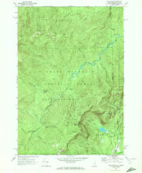
1970 Map of Wild River
USGS Topo · Published 1972About this map
Wild River carves a deep valley through this corner of the White Mountain National Forest, serving as the primary geographical axis for the 1970 survey. The landscape is defined by its dramatic relief, spanning from the heights of Shelburne Moriah Mtn and Middle Moriah Mtn down to the watercourse. This era of land use is marked by recreational and scientific infrastructure, with the Appalachian Trail winding across the northern ridges and the Wild River Climatic Station positioned near the center of Beans Purchase. The map captures a transition point for backcountry travelers, documenting established waypoints like the Spruce Brook Shelter and Blue Brook Shelter. Along the eastern boundary, the survey highlights the intersection of Coos Co and Oxford Co at the New Hampshire and Maine state line, where the terrain shifts toward Batchelders Grant and the falls at Mad River Falls.
Find a feature on this map
56 named features on this map. Tap any name to fly to it.
Don’t see what you’re looking for? This feature index may not catch every label — zoom into the map to look around manually.
Map Details
Editions of this 1970 Wild River Map
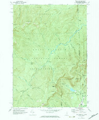
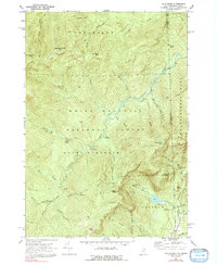
3 editions found
Other maps of this area

1893 · Gorham
USGS Topo · 1:62,500

1894 · North Conway
USGS Topo · 1:62,500

1896 · North Conway
USGS Topo · 1:62,500

1896 · Gorham
USGS Topo · 1:62,500

1909 · Fryeburg
USGS Topo · 1:62,500

1911 · Fryeburg
USGS Topo · 1:62,500

1914 · Bethel
USGS Topo · 1:62,500

1937 · Gorham
USGS Topo · 1:48,000

1940 · Bethel
USGS Topo · 1:62,500

1941 · Bethel
USGS Topo · 1:62,500