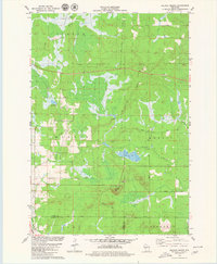
1979 Map of Wildcat Mound
USGS Topo · Published 1980About this map
Wildcat Mound and the nearby Bald Peak dominate the central landscape of this late-1970s survey, marking a topographic transition along the border of Clark and Jackson counties. The terrain is characterized by a network of drainage systems, including the meandering paths of Fivemile Creek and Halls Creek, which are interrupted by several engineered structures labeled Dam No. 2, Dam No. 3, and Dam No. 5.
Find a feature on this map
28 named features on this map. Tap any name to fly to it.
Don’t see what you’re looking for? This feature index may not catch every label — zoom into the map to look around manually.
Map Details
Editions of this 1979 Wildcat Mound Map
This is the sole edition of this map. No revisions or reprints were ever made.
Other maps of this area

1924 · Black River Falls
USGS Topo · 1:62,500

1926 · Black River Falls
USGS Topo · 1:62,500

1948 · Fairchild
USGS Topo · 1:62,500

1949 · Fairchild
USGS Topo · 1:62,500

1953 · Neillsville
USGS Topo · 1:62,500

1953 · Eau Claire
USGS Topo · 1:250,000

1958 · Eau Claire
USGS Topo · 1:250,000

1958 · Hatfield
USGS Topo · 1:48,000

1964 · Eau Claire
USGS Topo · 1:250,000
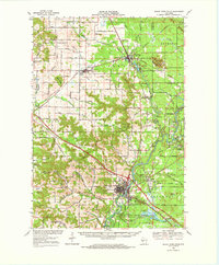
1968 · Black River Falls
USGS Topo · 1:62,500