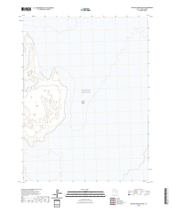
2023 Map of Wildcat Mountain NW
USGS Topo · Published 2023About this map
The Utah Test and Training Range dominates this portion of the Great Salt Lake Desert, a stark landscape defined by its specialized military utility and expansive geography. This 2023 survey provides a clear look at the contemporary boundary of this vast government reservation, where large-scale testing and training maneuvers occur within the high desert environment of Tooele County. The lack of standard civilian infrastructure or named settlements highlights the area's isolation and strategic importance. Researchers interested in modern military history or the management of public lands in the western United States will find the cartographic limits of this high-security zone well-defined against the surrounding topography of the salt flats.
Find a feature on this map
2 named features on this map. Tap any name to fly to it.
Don’t see what you’re looking for? This feature index may not catch every label — zoom into the map to look around manually.
Map Details
Editions of this 2023 Wildcat Mountain NW Map
This is the sole edition of this map. No revisions or reprints were ever made.
Other maps of this area

1953 · Tooele
USGS Topo · 1:250,000

1954 · Wildcat Mtn
USGS Topo · 1:24,000

1954 · Wildcat Mtn SE
USGS Topo · 1:24,000

1955 · Tooele
USGS Topo · 1:250,000

1973 · Knolls SW
USGS Topo · 1:24,000

1973 · Arinosa SE
USGS Topo · 1:24,000

1973 · Wildcat Mountain SW
USGS Topo · 1:24,000

1973 · Wildcat Mountain NW
USGS Topo · 1:24,000

1973 · Gold Hill 1 SE
USGS Topo · 1:24,000

1973 · Knolls SE
USGS Topo · 1:24,000