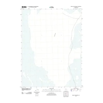
2010 Map of Wildcat Mountain
USGS Topo · Published 2010About this map
Wildcat Mountain rises as a solitary landmark within this arid Tooele County landscape, which remains largely undeveloped into the early 21st century. The sparse infrastructure is defined by White Rock Rd, a long-distance route that cuts through the northern and eastern reaches of the quadrangle. This 2010 topographic record, based on aerial imagery from 2009, reflects a terrain of extreme isolation where few man-made features exist besides the primary road system. The lack of settlements or industrial sites emphasizes the protected or restricted nature of the region, making this map an essential reference for those studying the most unpopulated corners of the Great Salt Lake Desert.
Find a feature on this map
2 named features on this map. Tap any name to fly to it.
Don’t see what you’re looking for? This feature index may not catch every label — zoom into the map to look around manually.
Map Details
Editions of this 2010 Wildcat Mountain Map
This is the sole edition of this map. No revisions or reprints were ever made.
Other maps of this area

1953 · Tooele
USGS Topo · 1:250,000

1954 · Wig Mtn SW
USGS Topo · 1:24,000

1954 · Wildcat Mtn
USGS Topo · 1:24,000

1954 · Wildcat Mtn SE
USGS Topo · 1:24,000

1954 · Wig Mtn NW
USGS Topo · 1:24,000

1955 · Tooele
USGS Topo · 1:250,000

1973 · Knolls SW
USGS Topo · 1:24,000

1973 · Wildcat Mountain SW
USGS Topo · 1:24,000

1973 · Wildcat Mountain NW
USGS Topo · 1:24,000

1973 · Knolls SE
USGS Topo · 1:24,000