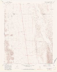
1969 Map of Wildcat Wash SW
USGS Topo · Published 1983About this map
The Desert National Wildlife Range dominates the western half of this 1969 field-checked landscape, where the rugged peaks of the Elbow Range meet the broad expanse of Coyote Spring Valley. This arid terrain is defined by its drainage patterns, with Pahranagat Wash and Double Wash cutting through the valley floor toward the Arrow Canyon Range in the southeast. While largely undeveloped, the map reveals the sparse human footprint of the era, marked by utilitarian features like a Dry Well and early industrial activity at a Borrow Pit and Gravel Pit. The presence of Sawmill Road and various Jeep Trails suggests a history of resource extraction and backcountry access in this remote portion of Clark County, while the curiously named Starvation Flat hints at the difficult conditions faced by early travelers and surveyors.
Find a feature on this map
14 named features on this map. Tap any name to fly to it.
Don’t see what you’re looking for? This feature index may not catch every label — zoom into the map to look around manually.
Map Details
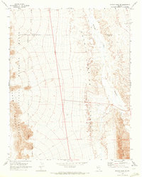
Editions of this 1969 Wildcat Wash SW Map
2 editions found
Other maps of this area

1886 · Saint Thomas
USGS Topo · 1:250,000

1893 · Saint Thomas
USGS Topo · 1:250,000

1907 · Las Vegas
USGS Topo · 1:250,000

1908 · Las Vegas
USGS Topo · 1:250,000

1945 · Sheep Range
USGS Topo · 1:125,000

1954 · Las Vegas
USGS Topo · 1:250,000

1957 · Las Vegas
USGS Topo · 1:250,000

1958 · Arrow Canyon
USGS Topo · 1:62,500

1959 · Las Vegas
USGS Topo · 1:250,000

1960 · Hayford Peak
USGS Topo · 1:62,500