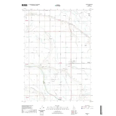
2020 Map of Wilder
USGS Topo · Published 2020About this map
The confluence area of the Snake River and Boise River defines this western Idaho landscape, where a sophisticated network of irrigation sustains the agricultural communities of Wilder, Homedale, and Roswell. The terrain is marked by the transition from river bottomlands at Goat Island and Gravelly Point to the elevated benches of Arena Valley. An intricate system of water management is visible through features like the Riverside Canal, Fargo High Line Canal, and dozens of smaller laterals such as the Plowhead Lateral and Watts Lateral.
Find a feature on this map
102 named features on this map. Tap any name to fly to it.
Don’t see what you’re looking for? This feature index may not catch every label — zoom into the map to look around manually.
Map Details
Editions of this 2020 Wilder Map
This is the sole edition of this map. No revisions or reprints were ever made.
Other maps of this area

1898 · Nampa
USGS Topo · 1:125,000

1906 · Mitchell Butte
USGS Topo · 1:125,000

1955 · Boise
USGS Topo · 1:250,000

1957 · Wilder
USGS Topo · 1:24,000

1957 · Notus
USGS Topo · 1:24,000

1958 · Boise
USGS Topo · 1:250,000

1958 · Homedale
USGS Topo · 1:24,000
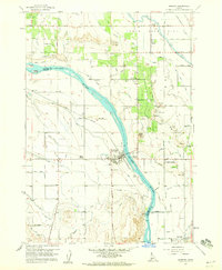
1958 · Marsing
USGS Topo · 1:24,000

1962 · Boise
USGS Topo · 1:250,000
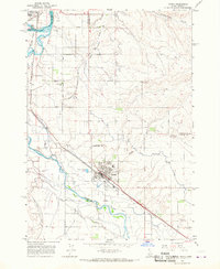
1965 · Parma
USGS Topo · 1:24,000