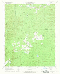
1968 Map of Wilderness
USGS Topo · Published 1969About this map
Mark Twain National Forest dominates this landscape in southern Missouri, where the rugged topography is defined by a dense network of hollows and ridges. The small settlement of Wilderness sits at a junction of forest roads, including Barnes Road and the historic Tram Road, which suggests earlier timber-hauling activities. The southern portion of the sheet is marked by the winding course of the Eleven Point River as it rounds the sharp loop at Horseshoe Bend. Numerous family-named and topographic landmarks populate the area, from the Freeman Cem near the northern boundary to the Sinking Creek Lookout Tower. The landscape is dotted with several specialized water features such as Falling Spring, Brawley Pond, and Camp Nine Pond, reflecting the karst geography and the practical water management required for forestry and local habitation in the late 1960s.
Find a feature on this map
40 named features on this map. Tap any name to fly to it.
Don’t see what you’re looking for? This feature index may not catch every label — zoom into the map to look around manually.
Map Details
Editions of this 1968 Wilderness Map
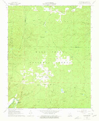
2 editions found
Other maps of this area

1931 · Bandyville
USGS Topo · 1:48,000

1941 · Gatewood
USGS Topo · 1:62,500

1944 · Van Buren
USGS Topo · 1:62,500

1944 · Couch
USGS Topo · 1:62,500

1944 · Birch Tree
USGS Topo · 1:62,500

1945 · Gatewood
USGS Topo · 1:62,500

1946 · Couch
USGS Topo · 1:62,500

1946 · Van Buren
USGS Topo · 1:62,500

1948 · Birch Tree
USGS Topo · 1:62,500

1957 · Poplar Bluff
USGS Topo · 1:250,000