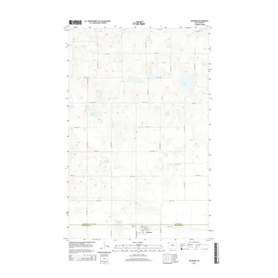
2014 Map of Wildrose
USGS Topo · Published 2014About this map
Wildrose sits at the southern edge of this Prairie Pothole landscape, marking the intersection of Main St and Fisk St. The map illustrates a region defined by its internal drainage and glacial depressions, characterized by numerous water bodies such as Willow Lake, Piepers Lake, and Thorsons Lake. The north-south boundary between Divide Co and Williams Co bisects the terrain along 84th St NW, just north of the village center.
Find a feature on this map
29 named features on this map. Tap any name to fly to it.
Don’t see what you’re looking for? This feature index may not catch every label — zoom into the map to look around manually.
Map Details
Editions of this 2014 Wildrose Map
This is the sole edition of this map. No revisions or reprints were ever made.
Other maps of this area

1948 · Alamo N.E.
USGS Topo · 1:24,000

1948 · Crosby SE
USGS Topo · 1:24,000

1949 · Noonan SW
USGS Topo · 1:24,000

1949 · Noonan SE
USGS Topo · 1:24,000

1950 · Crosby
USGS Topo · 1:62,500

1950 · Noonan
USGS Topo · 1:62,500

1953 · Williston
USGS Topo · 1:250,000

1957 · Williston
USGS Topo · 1:250,000

1974 · Wildrose
USGS Topo · 1:24,000

1974 · Tom Berg Lake
USGS Topo · 1:24,000