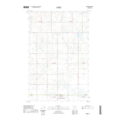
2020 Map of Wildrose
USGS Topo · Published 2020About this map
Wildrose sits at the southern edge of this prairie landscape, positioned where the border of Divide and Williams counties meets. The settlement is organized along Railroad Ave and numbered streets, including the local Po, serving as a focal point for the surrounding agricultural townships. The terrain is defined by a dense network of glacial depressions and wetlands, ranging from the prominent Thorsons Lake and Willow Lake to smaller named water bodies like Piepers Lake and Rosten Slough.
Find a feature on this map
32 named features on this map. Tap any name to fly to it.
Don’t see what you’re looking for? This feature index may not catch every label — zoom into the map to look around manually.
Map Details
Editions of this 2020 Wildrose Map
This is the sole edition of this map. No revisions or reprints were ever made.
Other maps of this area

1948 · Alamo N.E.
USGS Topo · 1:24,000

1948 · Crosby SE
USGS Topo · 1:24,000

1949 · Noonan SW
USGS Topo · 1:24,000

1949 · Noonan SE
USGS Topo · 1:24,000

1950 · Crosby
USGS Topo · 1:62,500

1950 · Noonan
USGS Topo · 1:62,500

1953 · Williston
USGS Topo · 1:250,000

1957 · Williston
USGS Topo · 1:250,000

1974 · Wildrose
USGS Topo · 1:24,000

1974 · Tom Berg Lake
USGS Topo · 1:24,000