2024 Map of Wildrose
USGS Topo · Published 2024About this map
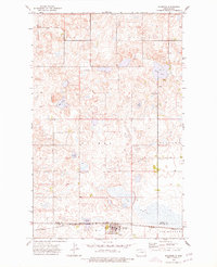
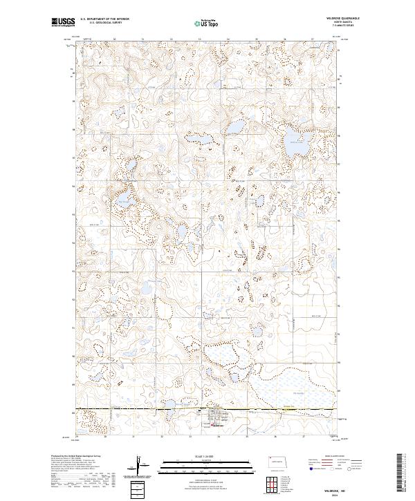
The town of Wildrose sits at the intersection of Williams and Divide counties, serving as a hub for this prairie landscape defined by glacial potholes and wetland basins. The local grid is anchored by Main ST and Railroad Ave, with Grace Cem located just north of the village center. This area reflects a deep commitment to prairie conservation, with significant acreage dedicated to the Divide County Waterfowl Production Area and the Williams County Waterfowl Production Area, protecting vital habitat across the county line.
Find a feature on this map
45 named features on this map. Tap any name to fly to it.
Don’t see what you’re looking for? This feature index may not catch every label — zoom into the map to look around manually.
Map Details
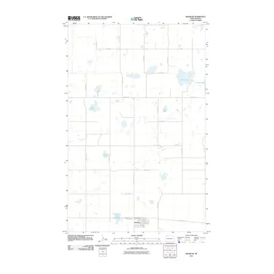
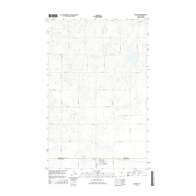
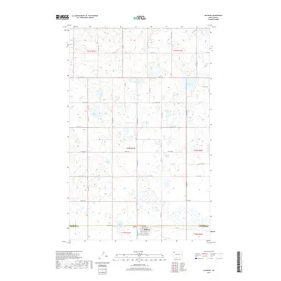
Editions of this 2024 Wildrose Map
This is the sole edition of this map. No revisions or reprints were ever made.
Historical Maps of Wildrose Through Time
6 maps found