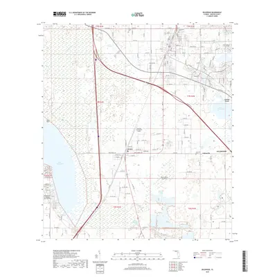
2018 Map of Wildwood
USGS Topo · Published 2018About this map
Lake Panasoffkee and its winding shoreline at Shell Point define the western reaches of this Sumter County landscape. The settlement of Coleman sits at the center of the sheet, serving as a hub between the open wetlands and the developing corridors to the north. To the east, Adamsville and Orange Home highlight the rural residential character of the region, interspersed with several local burial grounds such as Adamsville Cem and Greenwood Cem. Aviation infrastructure is a notable component of the terrain, with Freeflight International Airport and the Montgomery Ranch Airport marking the transition toward more modern land use. The hydrological network remains prominent, from the waters of Lake Okahumpka to the dense vegetation of the Warm Spring Hammock.
Find a feature on this map
124 named features on this map. Tap any name to fly to it.
Don’t see what you’re looking for? This feature index may not catch every label — zoom into the map to look around manually.
Map Details
Editions of this 2018 Wildwood Map
This is the sole edition of this map. No revisions or reprints were ever made.
Other maps of this area

1893 · Panasoffkee
USGS Topo · 1:62,500

1895 · Panasoffkee
USGS Topo · 1:62,500

1955 · Plant City
USGS Topo · 1:250,000

1955 · Orlando
USGS Topo · 1:250,000

1957 · Orlando
USGS Topo · 1:250,000

1958 · Orlando
USGS Topo · 1:250,000

1958 · Plant City
USGS Topo · 1:250,000

1958 · Bushnell
USGS Topo · 1:24,000

1958 · Wahoo
USGS Topo · 1:24,000

1959 · Plant City
USGS Topo · 1:250,000