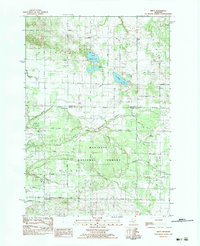
1983 Map of Wiley
USGS Topo · Published 1983About this map
Manistee National Forest encompasses the southern portion of this landscape, where the North Branch Pentwater River winds through dense woodlands. Small rural junctions like Bucks Corners and Smith Corners anchor the local road network along the boundary between Mason and Oceana counties. The area exhibits a mix of conservation and resource extraction, with the Pentwater Oil Field and various other oil fields situated near established local landmarks.
Find a feature on this map
40 named features on this map. Tap any name to fly to it.
Don’t see what you’re looking for? This feature index may not catch every label — zoom into the map to look around manually.
Map Details
Editions of this 1983 Wiley Map
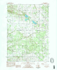
2 editions found
Other maps of this area

1931 · Custer NW
USGS Topo · 1:31,680

1931 · Hart NW
USGS Topo · 1:31,680

1931 · Custer SW
USGS Topo · 1:31,680

1931 · Hart NE
USGS Topo · 1:31,680

1931 · Walkerville NW
USGS Topo · 1:31,680

1932 · Ludington NE
USGS Topo · 1:31,680

1932 · Ludington SW
USGS Topo · 1:31,680

1932 · Ludington SE
USGS Topo · 1:31,680

1932 · Ludington
USGS Topo · 1:31,680

1954 · Milwaukee
USGS Topo · 1:250,000