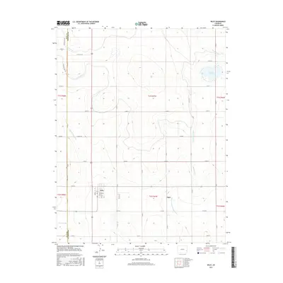
2016 Map of Wiley
USGS Topo · Published 2016About this map
Agricultural irrigation networks dominate this landscape along the border of Bent and Prowers Counties, centered on the settlement of Wiley. The town is mapped in detail, showing a grid of local streets such as Ward St, Gordon St, and Welton St, with the Wiley Cem located just to the northwest. The infrastructure of the High Plains is evident in the dense system of waterways designed to manage the arid environment, including the Fort Lyon Canal, Pawnee Canal, and the Sutanta Canal. A complex web of drainage features like the Wiley Drainage Ditch and Pleasant Valley Drainage Ditch feed into the local hydrology. To the east, the Thurston Reservoir provides a primary water source, while the smaller community of Sugar sits near the crossing of the Marburg Ditch.
Find a feature on this map
44 named features on this map. Tap any name to fly to it.
Don’t see what you’re looking for? This feature index may not catch every label — zoom into the map to look around manually.
Map Details
Editions of this 2016 Wiley Map
This is the sole edition of this map. No revisions or reprints were ever made.
Other maps of this area

1892 · Lamar
USGS Topo · 1:125,000

1952 · Lamar West
USGS Topo · 1:24,000

1953 · Lamar East
USGS Topo · 1:24,000

1953 · Prowers
USGS Topo · 1:24,000

1954 · Lamar
USGS Topo · 1:250,000

1955 · McClave
USGS Topo · 1:24,000

1955 · May Valley
USGS Topo · 1:24,000

1955 · Wiley
USGS Topo · 1:24,000

1958 · Lamar
USGS Topo · 1:250,000

1967 · Neenoshe Reservoir
USGS Topo · 1:24,000