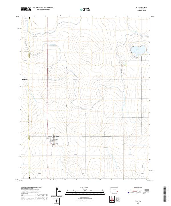
2022 Map of Wiley
USGS Topo · Published 2022About this map
Agricultural life in the lower Arkansas River Valley is defined by a complex irrigation network, as shown in this contemporary study of Prowers and Bent Counties. The town of Wiley serves as a central hub, surrounded by a grid of named rural roads and a sophisticated water management system. Major arteries like the Fort Lyon Canal and Satanta Canal cut through the high plains, feeding smaller channels such as the Wiley Drainage Ditch and Clover Meadow Ditch.
Find a feature on this map
40 named features on this map. Tap any name to fly to it.
Don’t see what you’re looking for? This feature index may not catch every label — zoom into the map to look around manually.
Map Details
Editions of this 2022 Wiley Map
This is the sole edition of this map. No revisions or reprints were ever made.
Other maps of this area

1892 · Lamar
USGS Topo · 1:125,000

1952 · Lamar West
USGS Topo · 1:24,000

1953 · Lamar East
USGS Topo · 1:24,000

1953 · Prowers
USGS Topo · 1:24,000

1954 · Lamar
USGS Topo · 1:250,000

1955 · McClave
USGS Topo · 1:24,000

1955 · May Valley
USGS Topo · 1:24,000

1955 · Wiley
USGS Topo · 1:24,000

1958 · Lamar
USGS Topo · 1:250,000

1967 · Neenoshe Reservoir
USGS Topo · 1:24,000