
1949 Map of Wiley
USGS Topo · Published 1973About this map
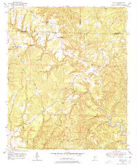
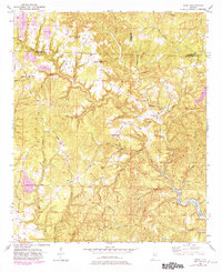
Yellow Creek and its many tributaries, including North Branch and Fourmile Branch, carve through the uplands of the Fayette Co Tuscaloosa Co border in the late 1940s. The landscape is defined by small, dispersed rural communities and centers of worship such as Upper Sulphur Springs Church and Lower Sulphur Springs Church. Local education is centered at Brandon Sch, while small settlements like Wiley, Sandtown, and Wyatt serve as landmarks for regional families. Toward the southeast, the terrain descends to meet the waters of Bankhead Lake where Big Yellow Creek feeds into the larger reservoir system. Notable high points like Upton Hill, Thompson Mtn, and Jess Dunn Hill provide vantage points over the dense network of hollows, including Shop Hollow, where Morris Mill Branch and Whitson Creek navigate the complex topography. This map documents a period before significant modern development, showing the original rural road network including Sterling Rd and Cheatham Road.
Find a feature on this map
37 named features on this map. Tap any name to fly to it.
Don’t see what you’re looking for? This feature index may not catch every label — zoom into the map to look around manually.
Map Details
Editions of this 1949 Wiley Map
3 editions found
Other maps of this area

1893 · Jasper
USGS Topo · 1:125,000

1899 · Brookwood
USGS Topo · 1:125,000

1926 · Samantha
USGS Topo · 1:48,000

1928 · Samantha
USGS Topo · 1:62,500

1929 · Searles
USGS Topo · 1:48,000

1934 · Searles
USGS Topo · 1:62,500

1949 · Parrish
USGS Topo · 1:24,000

1949 · Oakman
USGS Topo · 1:24,000

1949 · Tutwiler School
USGS Topo · 1:24,000

1951 · Parrish
USGS Topo · 1:24,000