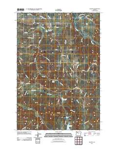
2011 Map of Wilhoit
USGS Topo · Published 2011About this map
Wilhoit Mineral Springs serves as a historic anchor for this area of Clackamas County, situated where the terrain begins to rise toward Missouri Ridge and High Hill. The landscape is defined by a dense network of tributaries including Teasel Creek, Rock Creek, and Beaver Creek that feed into the Molalla River. Small, rural communities such as Russellville and Hermans are connected by a web of local roads named for early families, including S Bird Rd and S Adams Rd.
Find a feature on this map
68 named features on this map. Tap any name to fly to it.
Don’t see what you’re looking for? This feature index may not catch every label — zoom into the map to look around manually.
Map Details
Editions of this 2011 Wilhoit Map
This is the sole edition of this map. No revisions or reprints were ever made.
Other maps of this area

1916 · Estacada
USGS Topo · 1:125,000

1929 · Mill City
USGS Topo · 1:125,000

1939 · Molalla
USGS Topo · 1:62,500

1940 · Molalla
USGS Topo · 1:62,500

1948 · Vancouver
USGS Topo · 1:250,000

1950 · Vancouver
USGS Topo · 1:250,000

1950 · Vancouver
USGS Topo · 1:250,000

1951 · Lyons
USGS Topo · 1:62,500

1953 · Salem
USGS Topo · 1:250,000

1954 · Salem
USGS Topo · 1:250,000