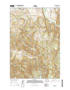
2014 Map of Wilhoit
USGS Topo · Published 2014About this map
Wilhoit Mineral Springs stands as a focal point in this southern Clackamas County landscape, where the settlement of Wilhoit is situated among the headwaters of Beaver Cr and Rock Cr. The area is defined by a series of named ridges and clearings, including Missouri Ridge and the open expanse of Dickey Prairie near the Molalla River. Small-scale water management is evident through features like Teasel Cr Reservoir and Beyer Reservoir, supporting the local rural economy. Genealogists will find several burial sites recorded across the quadrangle, such as Dart Cem, Adams Cem, Sawtell Cem, and Russellville Cem, which mark the historical footprint of early families in the region. The southern edge of the map tracks the boundary between Clackamas County and Marion County, passing over High Hill and through the drainage of Coal Cr.
Find a feature on this map
61 named features on this map. Tap any name to fly to it.
Don’t see what you’re looking for? This feature index may not catch every label — zoom into the map to look around manually.
Map Details
Editions of this 2014 Wilhoit Map
This is the sole edition of this map. No revisions or reprints were ever made.
Other maps of this area

1916 · Estacada
USGS Topo · 1:125,000

1929 · Mill City
USGS Topo · 1:125,000

1939 · Molalla
USGS Topo · 1:62,500

1940 · Molalla
USGS Topo · 1:62,500

1948 · Vancouver
USGS Topo · 1:250,000

1950 · Vancouver
USGS Topo · 1:250,000

1950 · Vancouver
USGS Topo · 1:250,000

1951 · Lyons
USGS Topo · 1:62,500

1953 · Salem
USGS Topo · 1:250,000

1954 · Salem
USGS Topo · 1:250,000