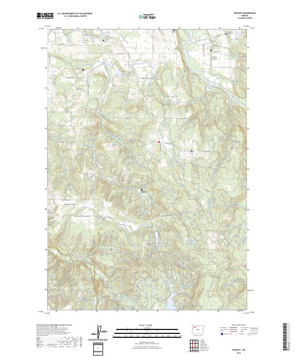
2023 Map of Wilhoit
USGS Topo · Published 2023About this map
Wilhoit sits at the heart of this landscape where the Clackamas and Marion county lines meet amidst the drainage of the Molalla River. The area is notably defined by several small, family-oriented burial sites, including the Callahan Family Cem, the Dickey-Family Cem, and the specific landmark of the Mrs Eliza Jane Gray Grave. These markers, alongside the Molalla Memorial Cem and Sawtell Cem, indicate a long-settled rural community with deep roots in the timbered foothills.
Find a feature on this map
74 named features on this map. Tap any name to fly to it.
Don’t see what you’re looking for? This feature index may not catch every label — zoom into the map to look around manually.
Map Details
Editions of this 2023 Wilhoit Map
This is the sole edition of this map. No revisions or reprints were ever made.
Other maps of this area

1916 · Estacada
USGS Topo · 1:125,000

1929 · Mill City
USGS Topo · 1:125,000

1939 · Molalla
USGS Topo · 1:62,500

1940 · Molalla
USGS Topo · 1:62,500

1948 · Vancouver
USGS Topo · 1:250,000

1950 · Vancouver
USGS Topo · 1:250,000

1950 · Vancouver
USGS Topo · 1:250,000

1951 · Lyons
USGS Topo · 1:62,500

1953 · Salem
USGS Topo · 1:250,000

1954 · Salem
USGS Topo · 1:250,000