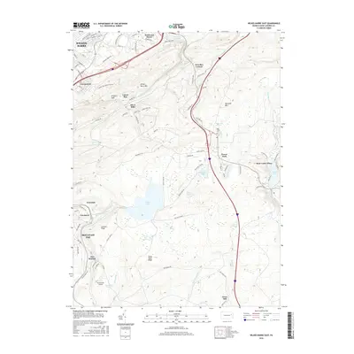
2016 Map of Wilkes-Barre East
USGS Topo · Published 2016About this map
Wilkes-Barre sits at the northern edge of this study, giving way to the high, ridge-heavy landscape of the Wyoming Mountain range. The terrain transitions from urban settlements like Georgetown and Boulevard Manor into a densely wooded watershed defined by significant water bodies such as Crystal Lake and Bear Cr Lake. The central plateau is marked by a complex network of wetlands, including Long Swamp, McKean Swamp, and Jimmy Kane Swamp, which feed the various runs and creeks that cut through the ridges.
Find a feature on this map
102 named features on this map. Tap any name to fly to it.
Don’t see what you’re looking for? This feature index may not catch every label — zoom into the map to look around manually.
Map Details
Editions of this 2016 Wilkes-Barre East Map
This is the sole edition of this map. No revisions or reprints were ever made.
Other maps of this area

1889 · Scranton
USGS Topo · 1:62,500

1891 · Wilkesbarre
USGS Topo · 1:62,500

1891 · Scranton
USGS Topo · 1:62,500

1893 · Pittston
USGS Topo · 1:62,500

1893 · Scranton
USGS Topo · 1:62,500

1894 · Wilkesbarre
USGS Topo · 1:62,500

1922 · Stoddartsville
USGS Topo · 1:62,500

1924 · Stoddartsville
USGS Topo · 1:62,500

1943 · Scranton
USGS Topo · 1:125,000

1943 · Stoddartsville
USGS Topo · 1:62,500