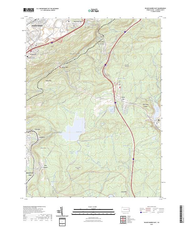
2023 Map of Wilkes-Barre East
USGS Topo · Published 2023About this map
Wilkes-Barre sits at the northwestern edge of this landscape, where urban streets like N Pennsylvania Ave and Wilkes Barre Township Blvd give way to the steep rise of Wilkes-Barre Mountain. This transition from the industrial valley to the high plateaus of the Poconos defines the region's geography. The map reveals a high concentration of religious and genealogical sites, including the Holy Trinity Lithuanian Cem and the Saint Marys Church of the Maternity Cem Old, reflecting the diverse ethnic heritage of the Wyoming Valley's workforce.
Find a feature on this map
117 named features on this map. Tap any name to fly to it.
Don’t see what you’re looking for? This feature index may not catch every label — zoom into the map to look around manually.
Map Details
Editions of this 2023 Wilkes-Barre East Map
This is the sole edition of this map. No revisions or reprints were ever made.
Other maps of this area

1889 · Scranton
USGS Topo · 1:62,500

1891 · Wilkesbarre
USGS Topo · 1:62,500

1891 · Scranton
USGS Topo · 1:62,500

1893 · Pittston
USGS Topo · 1:62,500

1893 · Scranton
USGS Topo · 1:62,500

1894 · Wilkesbarre
USGS Topo · 1:62,500

1922 · Stoddartsville
USGS Topo · 1:62,500

1924 · Stoddartsville
USGS Topo · 1:62,500

1943 · Scranton
USGS Topo · 1:125,000

1943 · Stoddartsville
USGS Topo · 1:62,500