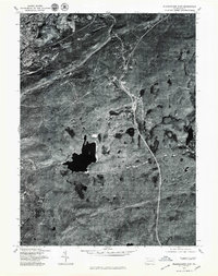
1976 Map of Wilkes-Barre East
USGS Topo · Published 1979About this map
Wilkes-Barre anchors the northwestern edge of this 1976 orthophotoquad, where the urban grid gives way to the formidable elevations of Wyoming Mountain. This transition from city life to the high country of Luzerne County is captured in striking photographic detail, revealing the complex intersection of early suburban expansion and the natural landscape. In the upland areas, the residential clusters of Forest Park and Glen Summit appear as clearings within the dense forest cover. The drainage of Bear Creek meanders through the eastern portion of the sheet, providing a primary natural landmark in a territory defined by high ridges and secluded plateaus. This aerial perspective, produced in cooperation with the Soil Conservation Service, offers a precise view of the regional topography and vegetation patterns as they existed in the mid-1970s.
Find a feature on this map
5 named features on this map. Tap any name to fly to it.
Don’t see what you’re looking for? This feature index may not catch every label — zoom into the map to look around manually.
Map Details
Editions of this 1976 Wilkes-Barre East Map
This is the sole edition of this map. No revisions or reprints were ever made.
Other maps of this area

1889 · Scranton
USGS Topo · 1:62,500

1891 · Wilkesbarre
USGS Topo · 1:62,500

1891 · Scranton
USGS Topo · 1:62,500

1893 · Pittston
USGS Topo · 1:62,500

1893 · Scranton
USGS Topo · 1:62,500

1894 · Wilkesbarre
USGS Topo · 1:62,500

1922 · Stoddartsville
USGS Topo · 1:62,500

1924 · Stoddartsville
USGS Topo · 1:62,500

1943 · Scranton
USGS Topo · 1:125,000

1943 · Stoddartsville
USGS Topo · 1:62,500