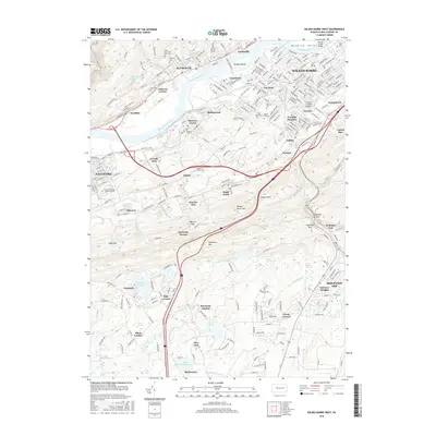
2016 Map of Wilkes-Barre West
USGS Topo · Published 2016About this map
The Wyoming Valley defines the northern reaches of this map, where the Susquehanna River curves past the urban centers of Wilkes-Barre, Plymouth, and Nanticoke. This densely developed corridor contrasts sharply with the ridgelines to the south, where Wilkes-Barre Mtn and Penobscot Mtn form a natural barrier broken only by features like Solomon Gap and Sugar Notch. The settlement pattern follows this geography, with traditional neighborhoods like Lee Park, Buttonwood, and Hanover Green concentrated near the river, while newer developments like Fairview Heights and Mountain Top sit atop the plateau.
Find a feature on this map
66 named features on this map. Tap any name to fly to it.
Don’t see what you’re looking for? This feature index may not catch every label — zoom into the map to look around manually.
Map Details
Editions of this 2016 Wilkes-Barre West Map
This is the sole edition of this map. No revisions or reprints were ever made.
Other maps of this area

1891 · Wilkesbarre
USGS Topo · 1:62,500

1891 · Harveys Lake
USGS Topo · 1:62,500

1893 · Harvey Lake
USGS Topo · 1:62,500

1893 · Pittston
USGS Topo · 1:62,500

1894 · Shickshinny
USGS Topo · 1:62,500

1894 · Wilkesbarre
USGS Topo · 1:62,500

1943 · Scranton
USGS Topo · 1:125,000

1946 · Sybertsville
USGS Topo · 1:31,680

1946 · Nanticoke
USGS Topo · 1:31,680

1946 · Kingston
USGS Topo · 1:24,000