
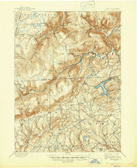
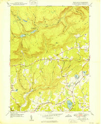
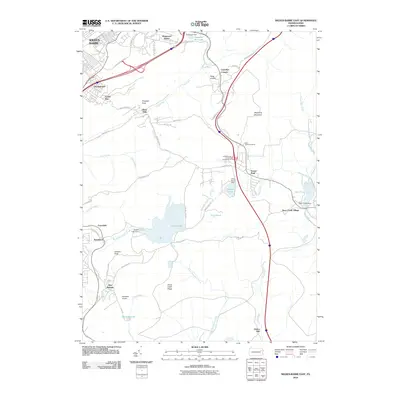
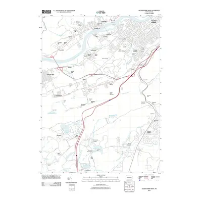
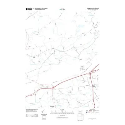
1976 Map of Wilkes-Barre West
USGS Topo · Published 1979About this map
The Susquehanna River carves a dominant path through this 1976 orthophotoquad, anchoring a dense corridor of Pennsylvania coal-country settlements. The imagery captures the urban footprints of Wilkes-Barre and Nanticoke at a time when the region's industrial legacy and mid-century layout were clearly visible from above. Smaller boroughs like Plymouth, Larksville, and Sugar Notch are tightly clustered along the river valley, showing the concentrated development typical of the Wyoming Valley.
Find a feature on this map
8 named features on this map. Tap any name to fly to it.
Don’t see what you’re looking for? This feature index may not catch every label — zoom into the map to look around manually.
Map Details
Editions of this 1976 Wilkes-Barre West Map
This is the sole edition of this map. No revisions or reprints were ever made.
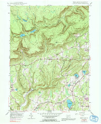
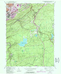
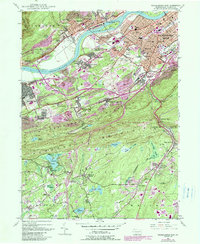
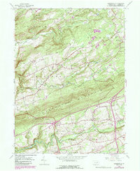
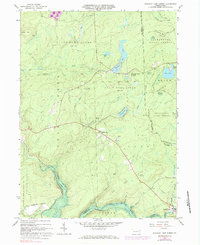
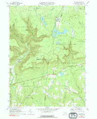
Historical Maps of Wilkes-Barre Through Time
50 maps found
1893 Harvey Lake
Luzerne County, PA
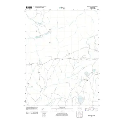
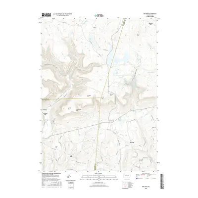
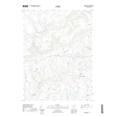
1946 Sweet Valley
Luzerne County, PA

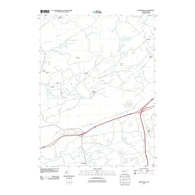
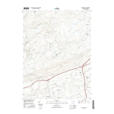
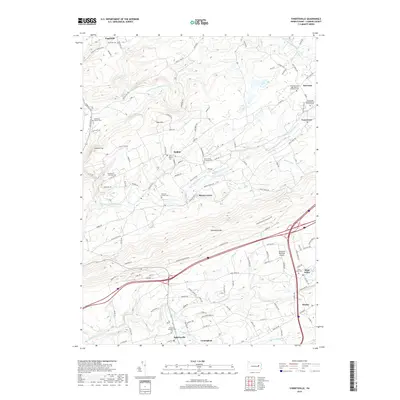
1946 Sybertsville
Luzerne County, PA
1947 Wilkes-Barre East
Luzerne County, PA
1947 Wilkes-Barre West
Luzerne County, PA
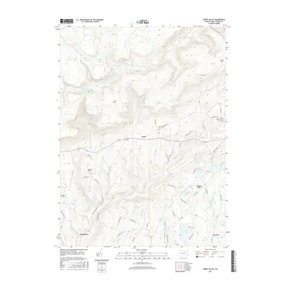
1949 Sweet Valley
Luzerne County, PA

1950 Wilkes-Barre East
Luzerne County, PA

1950 Wilkes-Barre West
Luzerne County, PA
1955 Sybertsville
Luzerne County, PA
1965 Pleasant View Summit
Luzerne County, PA
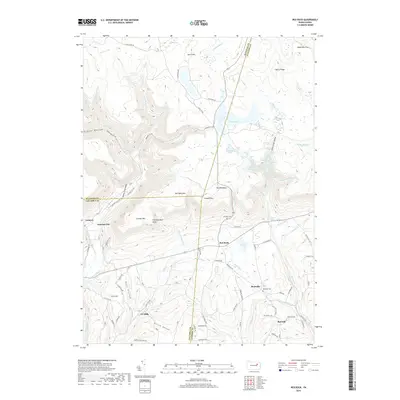
1969 Red Rock
Luzerne County, PA

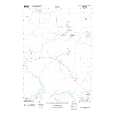
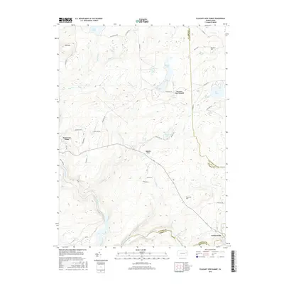
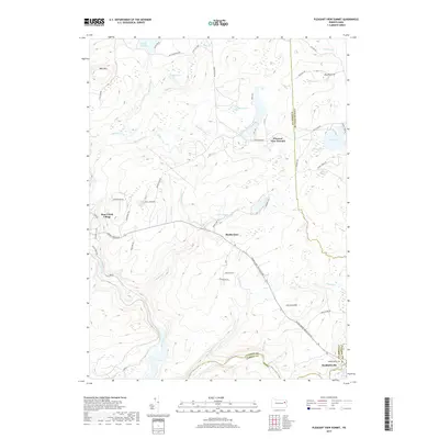
1976 Pleasant View Summit
Luzerne County, PA

1976 Sybertsville
Luzerne County, PA

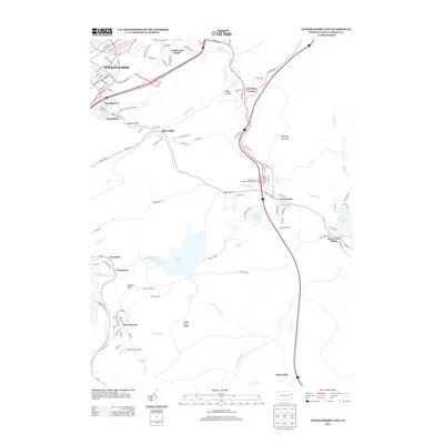
1976 Wilkes-Barre East
Luzerne County, PA
1976 Wilkes-Barre West
Luzerne County, PA

1992 Pleasant View Summit
Luzerne County, PA

1994 Wilkes-Barre East
Luzerne County, PA

1995 Red Rock
Luzerne County, PA

1997 Pleasant View Summit
Luzerne County, PA

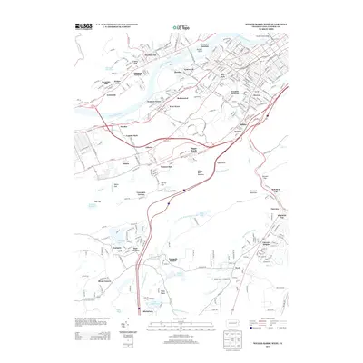
1999 Wilkes-Barre East
Luzerne County, PA
2010 Pleasant View Summit
Luzerne County, PA

2010 Red Rock
Luzerne County, PA
2010 Sweet Valley
Luzerne County, PA
2010 Sybertsville
Luzerne County, PA
2010 Wilkes-Barre East
Luzerne County, PA
2010 Wilkes-Barre West
Luzerne County, PA
2013 Pleasant View Summit
Luzerne County, PA
2013 Red Rock
Luzerne County, PA
2013 Sweet Valley
Luzerne County, PA
2013 Sybertsville
Luzerne County, PA
2013 Wilkes-Barre East
Luzerne County, PA
2013 Wilkes-Barre West
Luzerne County, PA
2016 Pleasant View Summit
Luzerne County, PA
2016 Red Rock
Luzerne County, PA
2016 Sweet Valley
Luzerne County, PA
2016 Sybertsville
Luzerne County, PA
2016 Wilkes-Barre East
Luzerne County, PA

2016 Wilkes-Barre West
Luzerne County, PA
2019 Pleasant View Summit
Luzerne County, PA
2019 Red Rock
Luzerne County, PA
2019 Sweet Valley
Luzerne County, PA
2019 Sybertsville
Luzerne County, PA
2019 Wilkes-Barre East
Luzerne County, PA
2019 Wilkes-Barre West
Luzerne County, PA

2023 Pleasant View Summit
Luzerne County, PA

2023 Red Rock
Luzerne County, PA
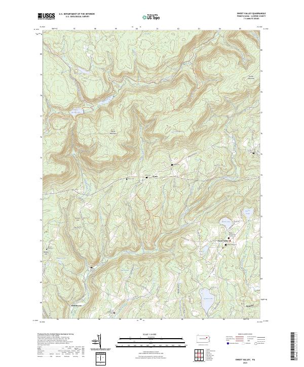
2023 Sweet Valley
Luzerne County, PA

2023 Sybertsville
Luzerne County, PA
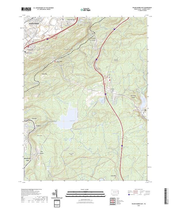
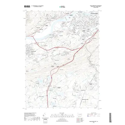
2023 Wilkes-Barre East
Luzerne County, PA

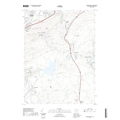
2023 Wilkes-Barre West
Luzerne County, PA